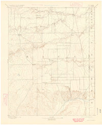
1892 Map of Vilas
USGS Topo · Published 1925About this map
Baca County, Colorado, appears here during a period of early plains settlement, surveyed just before the turn of the century by Willard D. Johnson. The landscape is defined by the transition from the Sand Hills in the west to the drainage basins of the Cimarron River and Sand Arroyo. Early hubs like Vilas and Boston are established along the emerging road network, while the historic Texas Trail cuts across the eastern plains near the Colorado Kansas Boundary Line. This topography captures the ranching and agricultural foundations of the region, anchored by family-named landmarks such as Mathews Ranch and Miles Ranch. Elevated features like Black Butte and Buffalo Point stand out against the creek-carved terrain of Bear Creek and Antelope Creek, illustrating the remote character of the High Plains before the intensive development of the 20th century.
Find a feature on this map
22 named features on this map. Tap any name to fly to it.
Don’t see what you’re looking for? This feature index may not catch every label — zoom into the map to look around manually.
Map Details
Editions of this 1892 Vilas Map
5 editions found
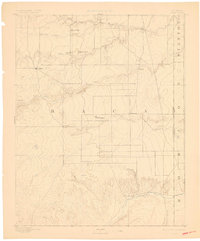
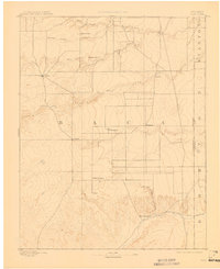
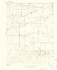
Other maps of this area

1891 · Albany
USGS Topo · 1:125,000

1891 · Springfield
USGS Topo · 1:125,000

1892 · Vilas
USGS Topo · 1:125,000

1892 · Two Butte
USGS Topo · 1:125,000

1893 · Two Butte
USGS Topo · 1:125,000

1893 · Springfield
USGS Topo · 1:125,000

1893 · Albany
USGS Topo · 1:125,000

1900 · Syracuse
USGS Topo · 1:125,000

1920 · Syracuse
USGS Topo · 1:125,000

1954 · Perryton
USGS Topo · 1:250,000