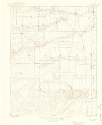
1892 Map of Vilas
USGS Topo · Published 1949About this map
Vilas and Boston appear as primary settlements in this 1890s survey of southeastern Colorado, a period when cattle ranching and early homesteading defined the high plains. The landscape is marked by the presence of the Texas Trail, which cuts across the eastern plains near the Colorado Kansas Boundary Line, signifying the importance of long-distance cattle drives to the regional economy. Settlements like Stonington and Plymouth are established along the drainage systems, while family-operated holdings such as Mathews Ranch and Miles Ranch anchor the rural territory.
Find a feature on this map
22 named features on this map. Tap any name to fly to it.
Don’t see what you’re looking for? This feature index may not catch every label — zoom into the map to look around manually.
Map Details
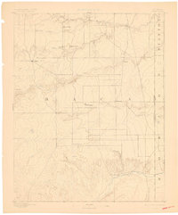
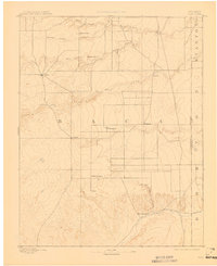
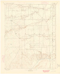
Editions of this 1892 Vilas Map
5 editions found
Other maps of this area

1891 · Albany
USGS Topo · 1:125,000

1891 · Springfield
USGS Topo · 1:125,000

1892 · Vilas
USGS Topo · 1:125,000

1892 · Two Butte
USGS Topo · 1:125,000

1893 · Two Butte
USGS Topo · 1:125,000

1893 · Springfield
USGS Topo · 1:125,000

1893 · Albany
USGS Topo · 1:125,000

1900 · Syracuse
USGS Topo · 1:125,000

1920 · Syracuse
USGS Topo · 1:125,000

1954 · Perryton
USGS Topo · 1:250,000