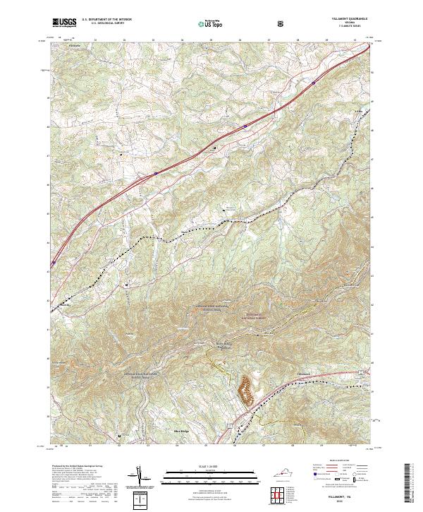
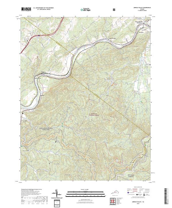
2022 Map of Villamont
USGS Topo · Published 2022About this map
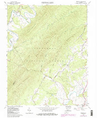
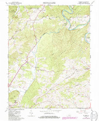
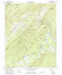
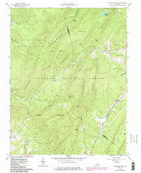
Fincastle and the surrounding Botetourt County landscape are defined by the passage of the Blue Ridge Parkway and the Appalachian National Scenic Trail through the high ridgelines of the Jefferson National Forest. This modern topography shows the tight relationship between historical transport and the terrain, where the N & W RR and Blue Ridge Tpke parallel the mountains through the valley floor. Small settlements and rural waypoints like Lithia, Nace, and Villamont follow this corridor, providing a glimpse into the late-20th and early-21st-century development of this mountain pass.
Find a feature on this map
118 named features on this map. Tap any name to fly to it.
Don’t see what you’re looking for? This feature index may not catch every label — zoom into the map to look around manually.
Map Details
Editions of this 2022 Villamont Map
This is the sole edition of this map. No revisions or reprints were ever made.
Historical Maps of Nace Through Time
17 maps found

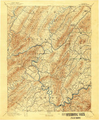
1894 Natural Bridge
Botetourt County, VA
1894 Rockbridge
Botetourt County, VA
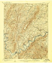
1907 Natural Bridge
Botetourt County, VA
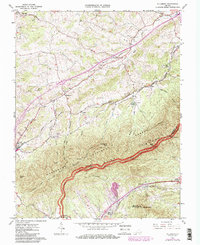
1961 Arnold Valley
Botetourt County, VA
1962 Oriskany
Botetourt County, VA
1962 Salisbury
Botetourt County, VA
1962 Strom
Botetourt County, VA
1962 Sugarloaf Mtn
Botetourt County, VA
1963 Villamont
Botetourt County, VA
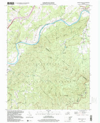
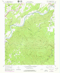
1999 Arnold Valley
Botetourt County, VA
1999 Villamont
Botetourt County, VA
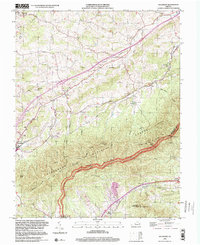
2022 Arnold Valley
Botetourt County, VA
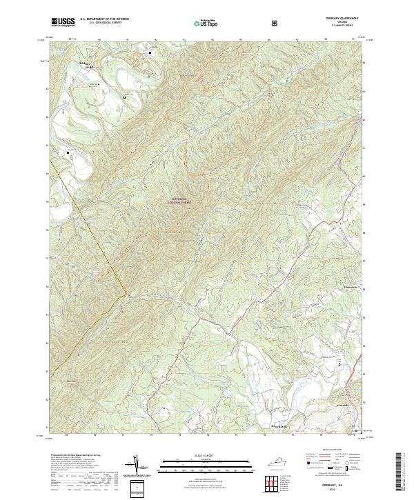
2022 Oriskany
Botetourt County, VA
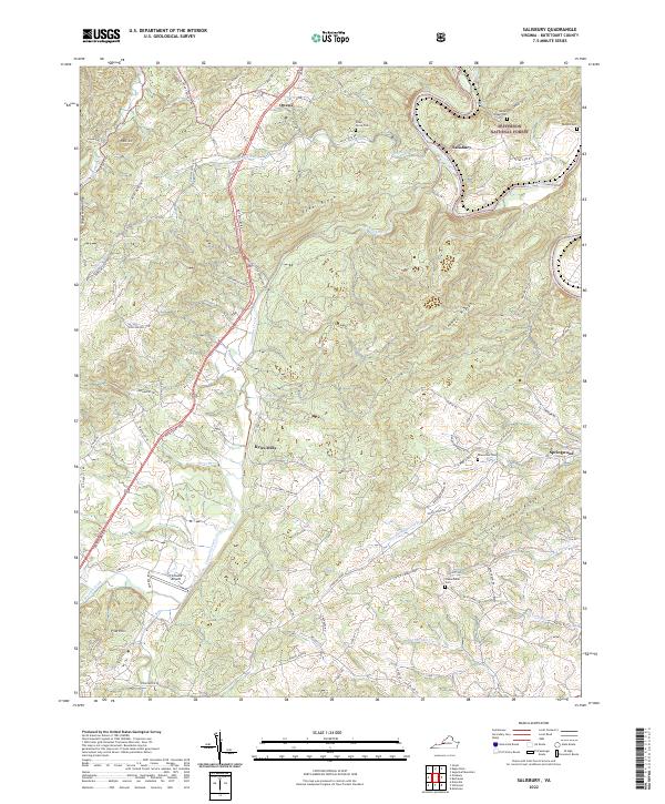
2022 Salisbury
Botetourt County, VA
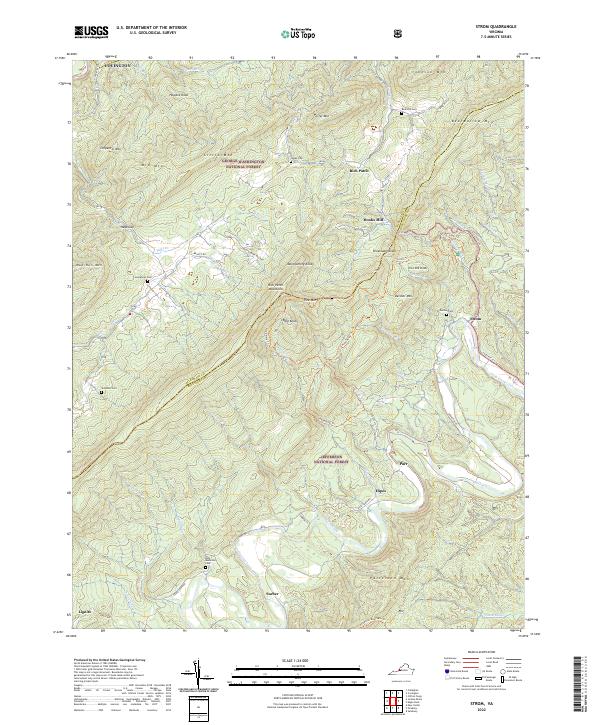
2022 Strom
Botetourt County, VA
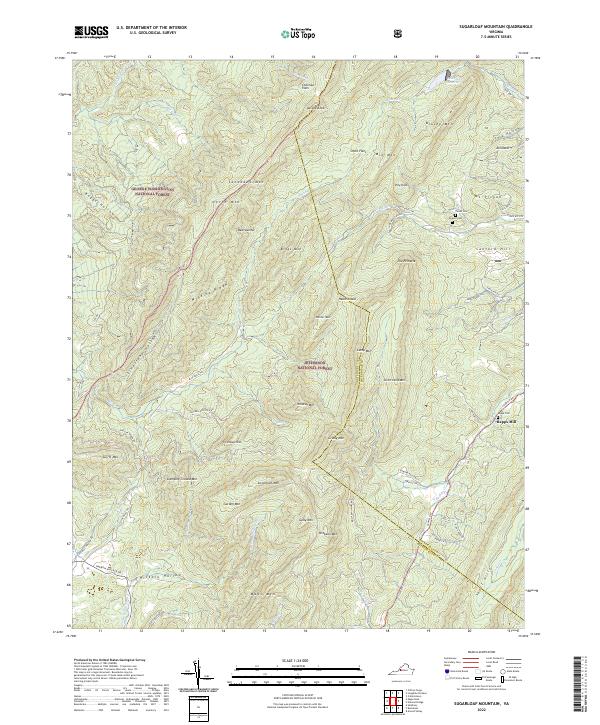
2022 Sugarloaf Mountain
Botetourt County, VA
2022 Villamont
Botetourt County, VA