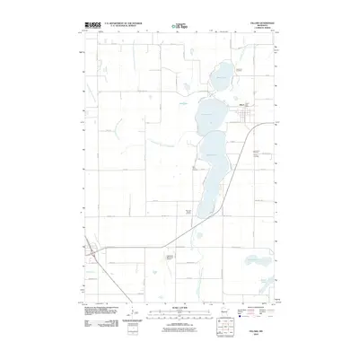
2010 Map of Villard
USGS Topo · Published 2010About this map
Glacial lakes dominate this portion of Pope County, defining the local landscape and the settlement patterns around Villard. This village, home to the Villard Post Office, is positioned at the intersection of County Hwy-28 and Washington Ave, serving as a central hub between Leven Lake and Villard Lake. The area's genealogical history is well-documented through a concentration of burial grounds, including Lake Leven Cemetery to the north and the clustered Lake Amelia Cemetery, Calvary Cemetery, and Saint Johns Cemetery further south near the shores of Amelia Lake.
Find a feature on this map
59 named features on this map. Tap any name to fly to it.
Don’t see what you’re looking for? This feature index may not catch every label — zoom into the map to look around manually.
Map Details
Editions of this 2010 Villard Map
This is the sole edition of this map. No revisions or reprints were ever made.
Other maps of this area

1953 · Saint Cloud
USGS Topo · 1:250,000

1957 · Saint Cloud
USGS Topo · 1:250,000

1958 · Saint Cloud
USGS Topo · 1:250,000

1965 · Westport
USGS Topo · 1:24,000

1965 · Sedan
USGS Topo · 1:24,000

1966 · Osakis
USGS Topo · 1:24,000

1966 · Lake Mary
USGS Topo · 1:24,000

1966 · Forada
USGS Topo · 1:24,000

1968 · Glenwood
USGS Topo · 1:24,000

1968 · Terrace
USGS Topo · 1:24,000