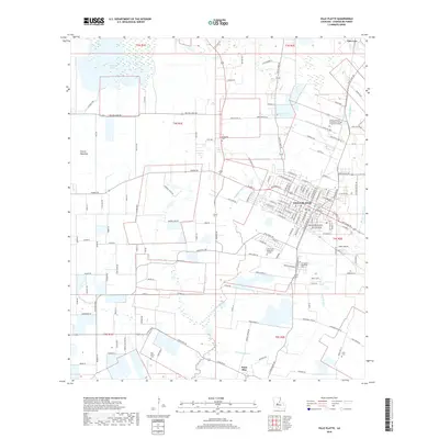
2018 Map of Ville Platte
USGS Topo · Published 2018About this map
Ville Platte serves as the focal point of this 2018 survey, where the town's dense street grid meets the agricultural reaches of Evangeline Parish. The landscape is defined by the transition from the open Prairie Mammou to the west into a network of waterways like Coulee Manuel and Bayou Joe Marcel that drain the low-lying terrain. To the northwest, the significant expanse of Millers Lake provides a major hydrological feature, while the presence of the South Louisiana Community College CB Coreil Campus reflects the modern educational infrastructure of the region.
Find a feature on this map
154 named features on this map. Tap any name to fly to it.
Don’t see what you’re looking for? This feature index may not catch every label — zoom into the map to look around manually.
Map Details
Editions of this 2018 Ville Platte Map
This is the sole edition of this map. No revisions or reprints were ever made.
Other maps of this area

1935 · Turkey Creek
USGS Topo · 1:62,500

1939 · Opelousas
USGS Topo · 1:62,500

1947 · Ville Platte
USGS Topo · 1:31,680

1947 · Redland
USGS Topo · 1:31,680

1947 · Chataignier
USGS Topo · 1:31,680

1948 · Bunkie
USGS Topo · 1:62,500

1949 · Turkey Creek
USGS Topo · 1:62,500

1952 · Lake Charles
USGS Topo · 1:250,000

1954 · Lake Charles
USGS Topo · 1:250,000

1956 · Opelousas
USGS Topo · 1:62,500