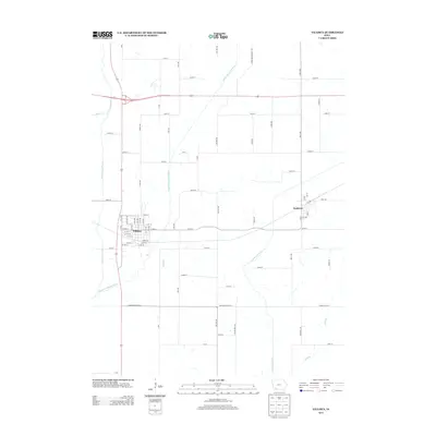
2013 Map of Villisca
USGS Topo · Published 2013About this map
The town of Villisca serves as the focal point for this landscape, defined by the confluence of major western Iowa waterways. This agricultural region is shaped by the parallel courses of the West Nodaway River, the Middle Nodaway River, and the East Nodaway River, which create a complex drainage system across the prairie. To the east, the smaller settlement of Nodaway sits near the banks of the East Nodaway, connected to its neighbor by a network of rural routes such as 260th St. Local landmarks like Wolf Run and Dunns Creek indicate the fine-grained hydrography of the territory, while the gridded street plans of both towns reflect the traditional Midwestern approach to town planning and expansion during the late 20th and early 21st centuries.
Find a feature on this map
70 named features on this map. Tap any name to fly to it.
Don’t see what you’re looking for? This feature index may not catch every label — zoom into the map to look around manually.
Map Details
Editions of this 2013 Villisca Map
This is the sole edition of this map. No revisions or reprints were ever made.
Other maps of this area

1954 · Omaha
USGS Topo · 1:250,000

1955 · Nebraska City
USGS Topo · 1:250,000

1957 · Nebraska City
USGS Topo · 1:250,000

1957 · Omaha
USGS Topo · 1:250,000

1958 · Omaha
USGS Topo · 1:250,000

1958 · Nebraska City
USGS Topo · 1:250,000

1978 · Stanton
USGS Topo · 1:24,000

1978 · Wallin
USGS Topo · 1:24,000

1978 · Clarinda North
USGS Topo · 1:24,000

1980 · Guss
USGS Topo · 1:24,000