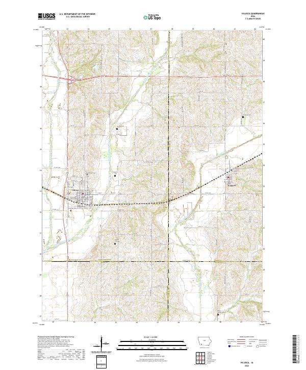
2022 Map of Villisca
USGS Topo · Published 2022About this map
Villisca and Nodaway serve as the primary population centers on this landscape defined by the convergence of the West Nodaway River, Middle Nodaway River, and East Nodaway River. The settlement pattern follows the fertile valleys between these waterways, with the town of Villisca situated prominently at the junction of several key local routes including Co Hwy H42 and Co Hwy H54. Genealogy and local history are exceptionally well-represented here, with numerous burial grounds scattered across the townships, from the larger Villisca Cem and Rosehill Cem to the smaller Bakers Cut Cem and the Pierce Family Cem to the south. The rural sections are neatly gridded by a network of numbered roads like 240 St and 260th St, punctuated by family-named landmarks such as Wolf Run and Dunns Cr.
Find a feature on this map
69 named features on this map. Tap any name to fly to it.
Don’t see what you’re looking for? This feature index may not catch every label — zoom into the map to look around manually.
Map Details
Editions of this 2022 Villisca Map
This is the sole edition of this map. No revisions or reprints were ever made.
Other maps of this area

1954 · Omaha
USGS Topo · 1:250,000

1955 · Nebraska City
USGS Topo · 1:250,000

1957 · Nebraska City
USGS Topo · 1:250,000

1957 · Omaha
USGS Topo · 1:250,000

1958 · Omaha
USGS Topo · 1:250,000

1958 · Nebraska City
USGS Topo · 1:250,000

1978 · Stanton
USGS Topo · 1:24,000

1978 · Wallin
USGS Topo · 1:24,000

1978 · Clarinda North
USGS Topo · 1:24,000

1980 · Guss
USGS Topo · 1:24,000