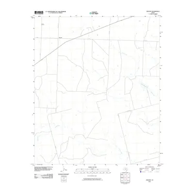
2010 Map of Vincent
USGS Topo · Published 2010About this map
The small settlement of Vincent serves as the focal point of this 2010 survey of Howard County, Texas. This community, positioned near the intersection of Ranch Rd 1205 and F M 848, is anchored by the Vincent Cemetery located just to the north. The landscape is defined by the ephemeral drainages typical of the region, including the headwaters of Morgan Creek and Hasting Creek. One of the few significant standing water bodies in the area is Lake Gregory, situated in the eastern portion of the quadrangle. The map captures a rural Texas landscape characterized by a grid of county roads such as Co Rd 280 and Co Rd 282, which facilitate movement between the scattered ranching properties and the open terrain surrounding Wildhorse Creek.
Find a feature on this map
13 named features on this map. Tap any name to fly to it.
Don’t see what you’re looking for? This feature index may not catch every label — zoom into the map to look around manually.
Map Details
Editions of this 2010 Vincent Map
This is the sole edition of this map. No revisions or reprints were ever made.
Other maps of this area

1942 · Big Spring North
USGS Topo · 1:62,500

1951 · Ira SW
USGS Topo · 1:24,000

1951 · Ira
USGS Topo · 1:24,000

1951 · Vincent
USGS Topo · 1:24,000

1951 · Iatan
USGS Topo · 1:24,000

1952 · Iatan
USGS Topo · 1:24,000

1952 · Cuthbert
USGS Topo · 1:24,000

1952 · Westbrook
USGS Topo · 1:24,000

1954 · Big Spring
USGS Topo · 1:250,000

1954 · Big Spring North NE
USGS Topo · 1:24,000