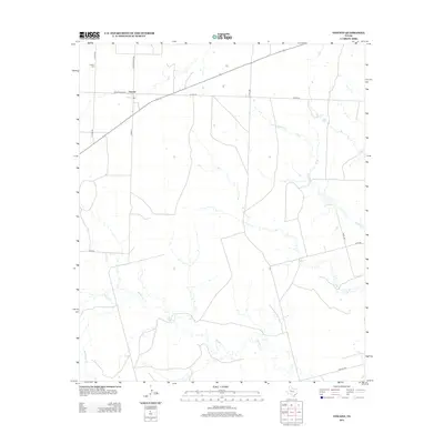
2012 Map of Vincent
USGS Topo · Published 2012About this map
The settlement of Vincent serves as the focal point of this West Texas landscape, positioned at the junction of several key regional routes. The community and its local history are anchored by the Vincent Cem, while the surrounding terrain is defined by a network of drainage systems that shape the ranching and agricultural land. Water features such as Hastings Cr, Morgan Cr, and Wildhorse Cr wind through the countryside, illustrating the hydrological patterns of Howard County. A small body of water, Lake Gregory, sits toward the eastern edge of the quadrangle. The grid of rural roads, including Ranch Road 1205 and Co Hwy 290, demonstrates the modern connectivity required for this remote part of the Permian Basin region.
Find a feature on this map
17 named features on this map. Tap any name to fly to it.
Don’t see what you’re looking for? This feature index may not catch every label — zoom into the map to look around manually.
Map Details
Editions of this 2012 Vincent Map
This is the sole edition of this map. No revisions or reprints were ever made.
Other maps of this area

1942 · Big Spring North
USGS Topo · 1:62,500

1951 · Ira SW
USGS Topo · 1:24,000

1951 · Ira
USGS Topo · 1:24,000

1951 · Vincent
USGS Topo · 1:24,000

1951 · Iatan
USGS Topo · 1:24,000

1952 · Iatan
USGS Topo · 1:24,000

1952 · Cuthbert
USGS Topo · 1:24,000

1952 · Westbrook
USGS Topo · 1:24,000

1954 · Big Spring
USGS Topo · 1:250,000

1954 · Big Spring North NE
USGS Topo · 1:24,000