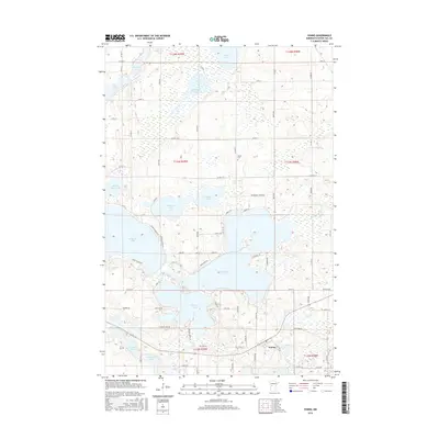
2016 Map of Vining
USGS Topo · Published 2016About this map
Glacial lakes and wetlands define this Otter Tail County landscape, where the small settlement of Vining sits at the junction of several county routes and a local rail line. The terrain is dominated by a complex network of water bodies, including the significant expanses of E Battle Lake and W Battle Lake, which are separated by a narrow neck of land. To the north, Tamarack Lake and Gourd Lake occupy low-lying basins surrounded by a grid of rural roads like Co Hwy 5 and Co Hwy 16.
Find a feature on this map
75 named features on this map. Tap any name to fly to it.
Don’t see what you’re looking for? This feature index may not catch every label — zoom into the map to look around manually.
Map Details
Editions of this 2016 Vining Map
This is the sole edition of this map. No revisions or reprints were ever made.
Other maps of this area

1912 · Battle Lake
USGS Topo · 1:62,500

1914 · Battle Lake
USGS Topo · 1:62,500

1953 · Brainerd
USGS Topo · 1:250,000

1957 · Brainerd
USGS Topo · 1:250,000

1958 · Brainerd
USGS Topo · 1:250,000

1965 · Brainerd
USGS Topo · 1:250,000

1969 · Henning
USGS Topo · 1:24,000

1969 · Eagle Lake
USGS Topo · 1:24,000
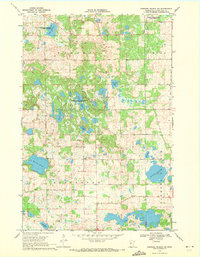
1969 · Parkers Prairie NW
USGS Topo · 1:24,000

1969 · Heinola
USGS Topo · 1:24,000