
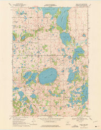
1969 Map of Eagle Lake
USGS Topo · Published 1971About this map
Eagle Lake and the undulating terrain of Leaf Mountain define this mid-century landscape in Otter Tail County. The area is characterized by a dense concentration of glacial basins, ranging from the expansive Clitherall Lake to smaller named bodies like Jolly Ann Lake, Torgerson Lake, and Spitzer Lake. This 1969 field-checked survey reveals a rural fabric of townships including Clitherall, Eagle Lake, and Nidaros, where local life centered around small country schools like School No 1398 and community Townhall locations.
Find a feature on this map
28 named features on this map. Tap any name to fly to it.
Don’t see what you’re looking for? This feature index may not catch every label — zoom into the map to look around manually.
Map Details
Editions of this 1969 Eagle Lake Map
2 editions found
Other maps of this area

1912 · Battle Lake
USGS Topo · 1:62,500

1913 · Ashby
USGS Topo · 1:62,500

1914 · Battle Lake
USGS Topo · 1:62,500

1915 · Underwood
USGS Topo · 1:62,500

1953 · Brainerd
USGS Topo · 1:250,000

1957 · Brainerd
USGS Topo · 1:250,000

1958 · Brainerd
USGS Topo · 1:250,000

1965 · Brainerd
USGS Topo · 1:250,000
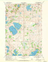
1969 · Millerville
USGS Topo · 1:24,000
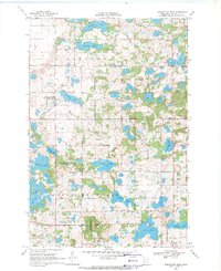
1969 · Inspiration Peak
USGS Topo · 1:24,000
Featured Places
- Eagle Lake Township, MN
- Leaf Mountain Township, MN
- Nidaros Township, MN
- Clitherall Township, MN
- Otter Tail County, MN