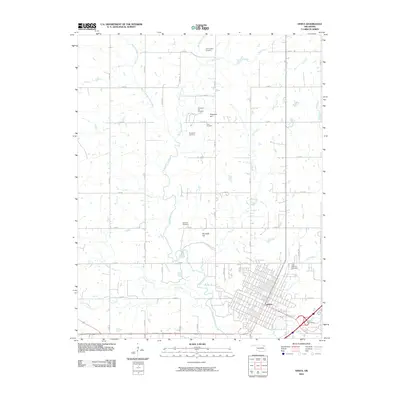
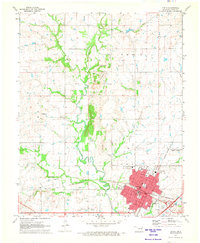
2010 Map of Vinita
USGS Topo · Published 2010About this map
Vinita serves as the focal point for this Northeastern Oklahoma landscape, where the town’s established street grid meets the winding course of Big Cabin Creek. The surrounding countryside is defined by a dense network of sectional roads and the convergence of several waterways, including Elm Creek, Bull Creek, and Pecan Creek. This survey provides significant detail for genealogists, documenting a high concentration of rural burial grounds such as Schrimpsher Cemetery, Keys Cemetery, and Bluejacket Cemetery.
Find a feature on this map
36 named features on this map. Tap any name to fly to it.
Don’t see what you’re looking for? This feature index may not catch every label — zoom into the map to look around manually.
Map Details
Editions of this 2010 Vinita Map
This is the sole edition of this map. No revisions or reprints were ever made.
Other maps of this area

1901 · Vinita
USGS Topo · 1:125,000

1913 · Vinita
USGS Topo · 1:125,000

1954 · Tulsa
USGS Topo · 1:250,000

1958 · Tulsa
USGS Topo · 1:250,000

1963 · Tulsa
USGS Topo · 1:250,000

1970 · White Oak
USGS Topo · 1:24,000
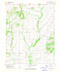
1971 · Pyramid Corners
USGS Topo · 1:24,000
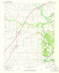
1971 · Big Cabin
USGS Topo · 1:24,000
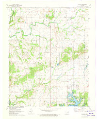
1971 · Ketchum
USGS Topo · 1:24,000
1971 · Vinita
USGS Topo · 1:24,000