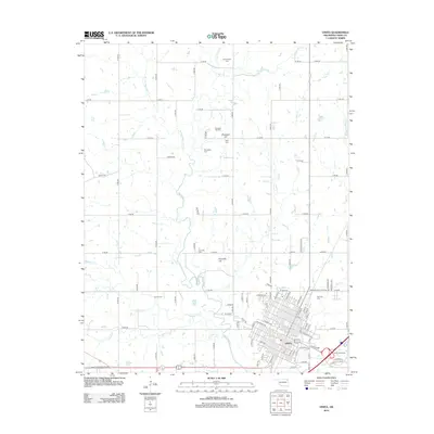
2012 Map of Vinita
USGS Topo · Published 2012About this map
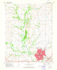
Vinita serves as the focal point of this Craig County landscape, situated where the open plains of Northeast Oklahoma meet a dense network of meandering waterways. The town's grid is bounded by Bull Cr to the east and the sprawling grounds of Eastern State Hospital Rd to the north. Outside the municipal center, the terrain is characterized by rolling hills such as Pheasant Hill and Donnelly Hill, interspersed with an extensive collection of family and community burial grounds. Genealogists and local historians will find numerous sites of interest including Schrimpsher Cem, Bluejacket Cem, and Fairview Cem. The surrounding countryside is defined by the hydrological patterns of Big Cabin Cr and its tributaries, W Fork Big Cabin Cr and Pawpaw Cr, which dictate the rural road layout of this agricultural region.
Find a feature on this map
94 named features on this map. Tap any name to fly to it.
Don’t see what you’re looking for? This feature index may not catch every label — zoom into the map to look around manually.
Map Details
Editions of this 2012 Vinita Map
This is the sole edition of this map. No revisions or reprints were ever made.
Other maps of this area

1901 · Vinita
USGS Topo · 1:125,000

1913 · Vinita
USGS Topo · 1:125,000

1954 · Tulsa
USGS Topo · 1:250,000

1958 · Tulsa
USGS Topo · 1:250,000

1963 · Tulsa
USGS Topo · 1:250,000

1970 · White Oak
USGS Topo · 1:24,000
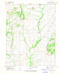
1971 · Pyramid Corners
USGS Topo · 1:24,000
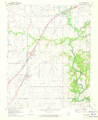
1971 · Big Cabin
USGS Topo · 1:24,000
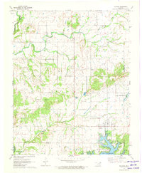
1971 · Ketchum
USGS Topo · 1:24,000
1971 · Vinita
USGS Topo · 1:24,000