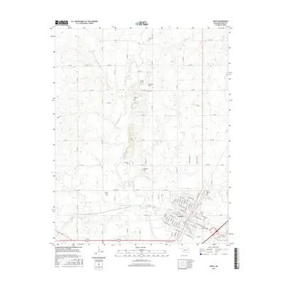
2016 Map of Vinita
USGS Topo · Published 2016About this map
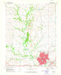
Vinita serves as the focal point of this Craig County landscape, where the urban grid meets the agricultural reaches of northeast Oklahoma. The city street plan includes notable thoroughfares such as E Illinois Ave and W Oklahoma Ave, framing the residential and commercial heart of the community. Beyond the city limits, the terrain is defined by the winding course of Big Cabin Creek and its various tributaries like Pawpaw Cr and Pecan Cr, which drain the surrounding prairies.
Find a feature on this map
101 named features on this map. Tap any name to fly to it.
Don’t see what you’re looking for? This feature index may not catch every label — zoom into the map to look around manually.
Map Details
Editions of this 2016 Vinita Map
This is the sole edition of this map. No revisions or reprints were ever made.
Other maps of this area

1901 · Vinita
USGS Topo · 1:125,000

1913 · Vinita
USGS Topo · 1:125,000

1954 · Tulsa
USGS Topo · 1:250,000

1958 · Tulsa
USGS Topo · 1:250,000

1963 · Tulsa
USGS Topo · 1:250,000

1970 · White Oak
USGS Topo · 1:24,000
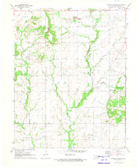
1971 · Pyramid Corners
USGS Topo · 1:24,000
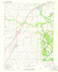
1971 · Big Cabin
USGS Topo · 1:24,000
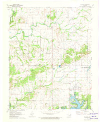
1971 · Ketchum
USGS Topo · 1:24,000
1971 · Vinita
USGS Topo · 1:24,000