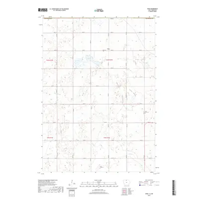
2018 Map of Vinje
USGS Topo · Published 2018About this map
Vinje stands as a small crossroads community in northern Winnebago County, Iowa, representing the enduring agricultural character of the Upper Midwest in the early 21st century. The landscape is defined by the rigid grid of the Public Land Survey System, with roads like 500th St and 150th Ave delineating section lines through productive farmland. Water features such as Harmon Lake and the meandering path of Little Buffalo Creek disrupt the rectilinear patterns, providing vital drainage and natural habitat in this prairie region. Genealogists will find significant value in the documentation of local burial grounds, including Bethel Cemetery, North Prairie Cemetery, and Holmes Chapel Cemetery, which serve as physical markers of the families who settled this corner of the state near the Minnesota border.
Find a feature on this map
29 named features on this map. Tap any name to fly to it.
Don’t see what you’re looking for? This feature index may not catch every label — zoom into the map to look around manually.
Map Details
Editions of this 2018 Vinje Map
This is the sole edition of this map. No revisions or reprints were ever made.
Other maps of this area

1954 · Mason City
USGS Topo · 1:250,000

1955 · Bricelyn
USGS Topo · 1:62,500

1955 · Wells
USGS Topo · 1:62,500

1957 · Mason City
USGS Topo · 1:250,000

1958 · Mason City
USGS Topo · 1:250,000

1972 · Forest City
USGS Topo · 1:24,000

1972 · Buffalo Center NE
USGS Topo · 1:24,000

1972 · Pilot Knob
USGS Topo · 1:24,000

1972 · Vinje
USGS Topo · 1:24,000
1972 · Thompson
USGS Topo · 1:24,000