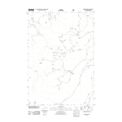
2011 Map of Vipond Park
USGS Topo · Published 2011About this map
Monte Cristo Mine and a dense cluster of historic claims define the high-elevation mining landscape of Beaverhead County in this 2011 survey. The region is marked by an extensive history of extraction, visible through the numerous named sites concentrated around Quartz Hill and the slopes of Gray Jockey Peak. These workings, including the Old Faithful Mine and Great Western Mine, suggest a period of intense prospecting across the gulches. Lower elevations offer transition into recreational and riparian areas, such as the Canyon Creek Campground and the Canyon Creek Camp near the confluence of local drainages. The drainage network, featuring Adson Creek and Canyon Creek, provides a geographic skeleton for the Forest Service roads that navigate the complex terrain between Sheep Mountain and Black Lion Mountain.
Find a feature on this map
47 named features on this map. Tap any name to fly to it.
Don’t see what you’re looking for? This feature index may not catch every label — zoom into the map to look around manually.
Map Details
Editions of this 2011 Vipond Park Map
This is the sole edition of this map. No revisions or reprints were ever made.
Other maps of this area

1893 · Dillon
USGS Topo · 1:250,000

1955 · Dillon
USGS Topo · 1:250,000

1957 · Dillon
USGS Topo · 1:250,000

1958 · Dillon
USGS Topo · 1:250,000

1958 · Vipond Park
USGS Topo · 1:62,500

1961 · Dewey
USGS Topo · 1:24,000

1961 · Wise River
USGS Topo · 1:24,000

1962 · Dillon
USGS Topo · 1:250,000
1962 · Dickie Hills
USGS Topo · 1:24,000

1965 · Dillon
USGS Topo · 1:250,000