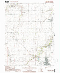
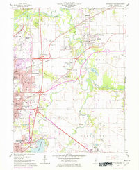
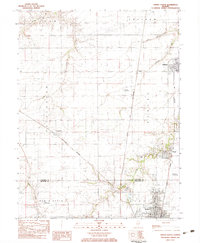
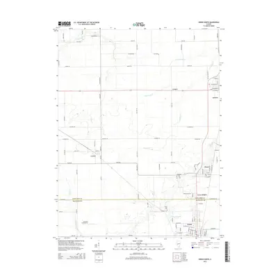
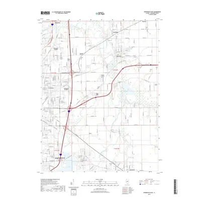
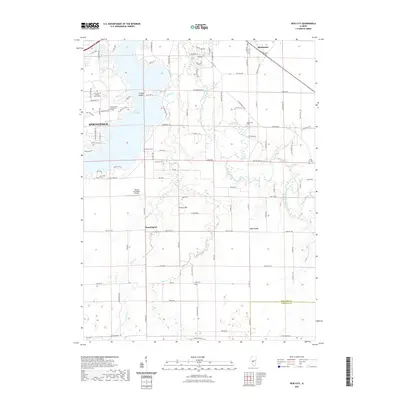
1998 Map of Virden North
USGS Topo · Published 2002About this map
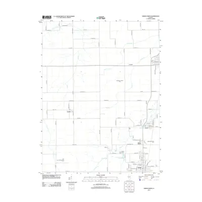
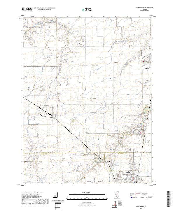
Virden and Auburn anchor the landscape of this Central Illinois region, illustrating a corridor of prairie settlements defined by rail and agriculture. The presence of a Shaft and an Abandoned Railroad near Thayer points to the coal mining legacy that once fueled the growth of these communities along the Sangamon and Macoupin county line. While the towns themselves show established residential grids, including features like the High Sch and Virden Cemetery, the surrounding countryside is marked by numerous small aviation facilities such as McNaught Landing Strip and Weber Landing Strip. Drainage across the level terrain is provided by several watercourses including Panther Creek, Johns Creek, and Sugar Creek, which carve subtle valleys into the productive farmland. The smaller settlement of Lowder remains a distinct rural pocket in Talkington township, connected to the larger hubs by a network of section-line roads.
Find a feature on this map
30 named features on this map. Tap any name to fly to it.
Don’t see what you’re looking for? This feature index may not catch every label — zoom into the map to look around manually.
Map Details
Editions of this 1998 Virden North Map
This is the sole edition of this map. No revisions or reprints were ever made.
Historical Maps of Auburn Through Time
37 maps found
1950 Springfield East
Sangamon County, IL
1950 Springfield West
Sangamon County, IL
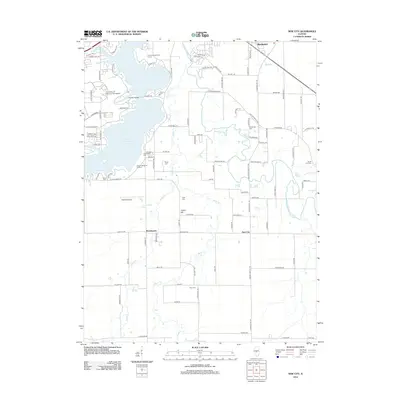
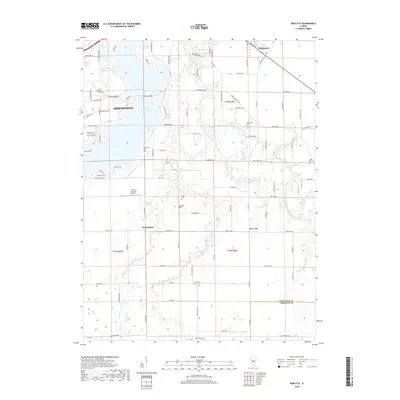
1961 New City
Sangamon County, IL
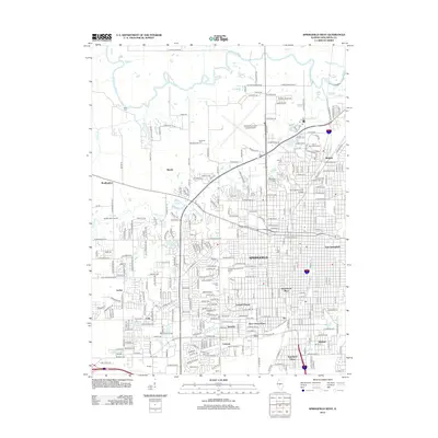
1965 Springfield East
Sangamon County, IL
1965 Springfield West
Sangamon County, IL
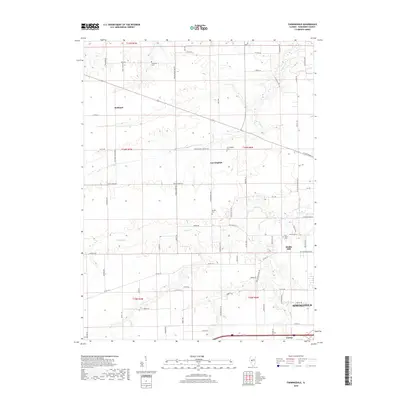
1971 Farmingdale
Sangamon County, IL
1976 Farmingdale
Sangamon County, IL
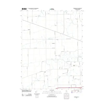
1983 Virden North
Sangamon County, IL
1998 New City
Sangamon County, IL
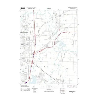
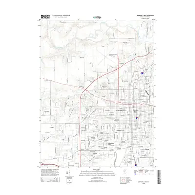
1998 Springfield East
Sangamon County, IL
1998 Springfield West
Sangamon County, IL
1998 Virden North
Sangamon County, IL
2012 Farmingdale
Sangamon County, IL
2012 New City
Sangamon County, IL
2012 Springfield East
Sangamon County, IL
2012 Springfield West
Sangamon County, IL
2012 Virden North
Sangamon County, IL
2015 Farmingdale
Sangamon County, IL
2015 New City
Sangamon County, IL
2015 Springfield East
Sangamon County, IL
2015 Springfield West
Sangamon County, IL
2015 Virden North
Sangamon County, IL
2018 Farmingdale
Sangamon County, IL
2018 New City
Sangamon County, IL
2018 Springfield East
Sangamon County, IL
2018 Springfield West
Sangamon County, IL
2018 Virden North
Sangamon County, IL
2021 Farmingdale
Sangamon County, IL
2021 New City
Sangamon County, IL
2021 Springfield East
Sangamon County, IL
2021 Springfield West
Sangamon County, IL
2021 Virden North
Sangamon County, IL
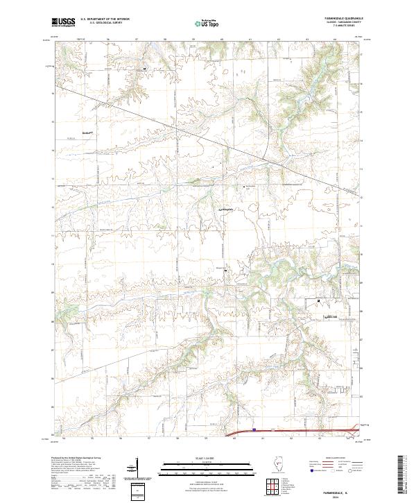
2024 Farmingdale
Sangamon County, IL
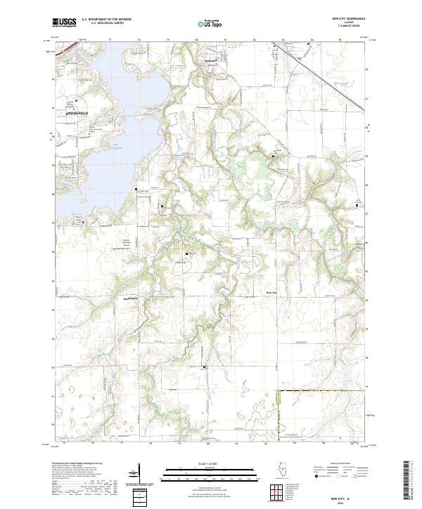
2024 New City
Sangamon County, IL
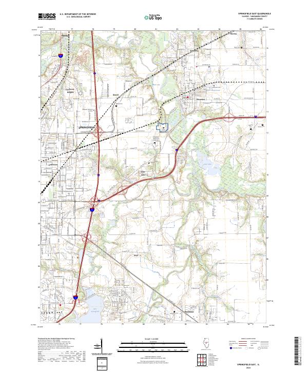
2024 Springfield East
Sangamon County, IL
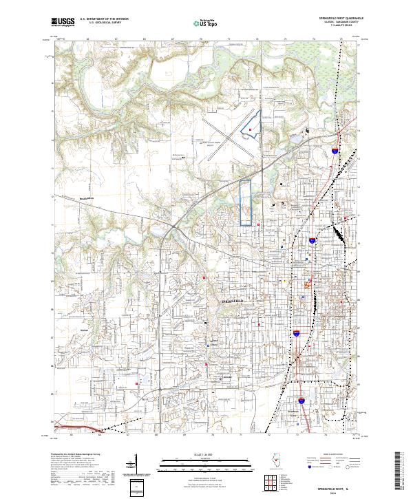
2024 Springfield West
Sangamon County, IL
2024 Virden North
Sangamon County, IL