
1951 Map of Virginia
USGS Topo · Published 1987About this map
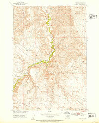
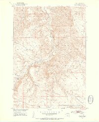
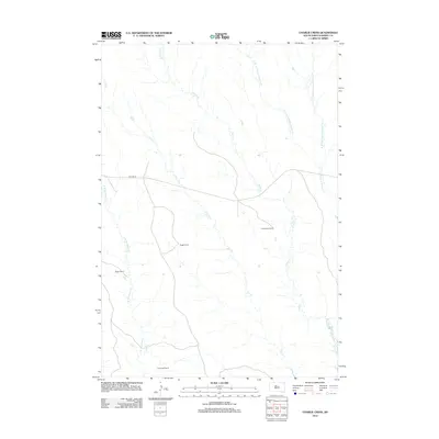
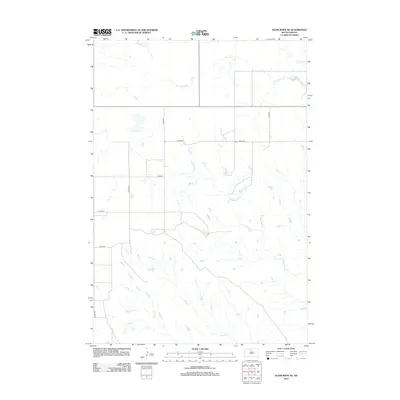
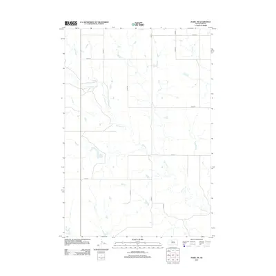
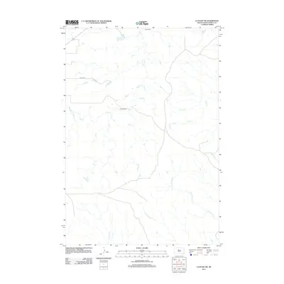
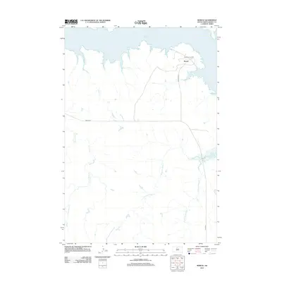
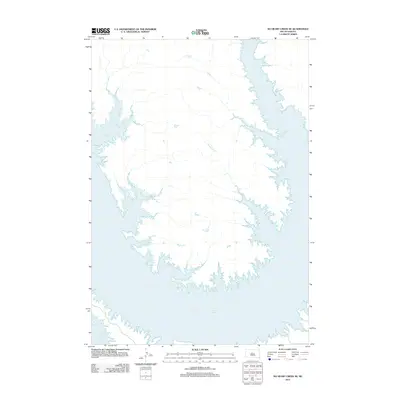
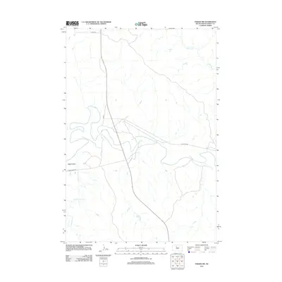
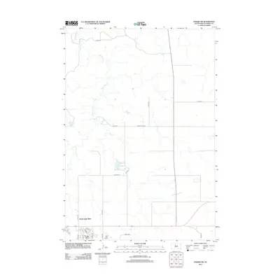
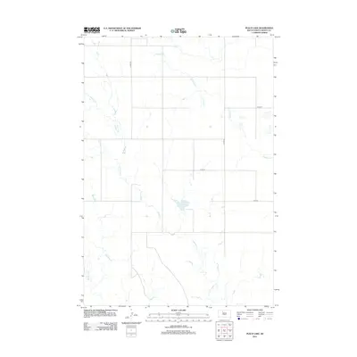
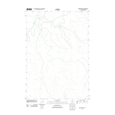
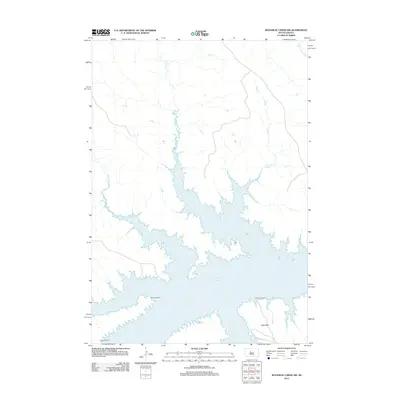
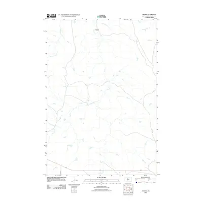
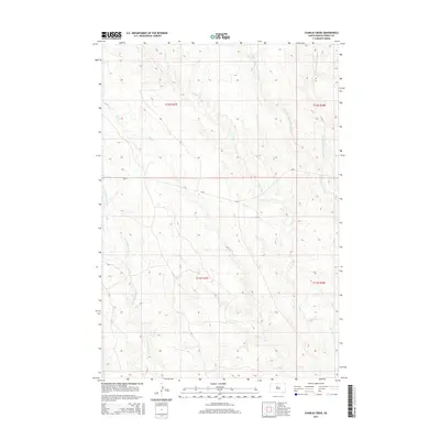
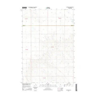
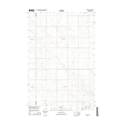
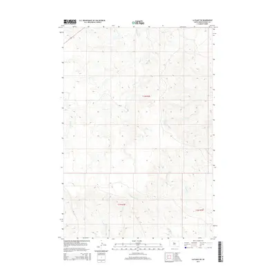
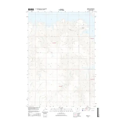
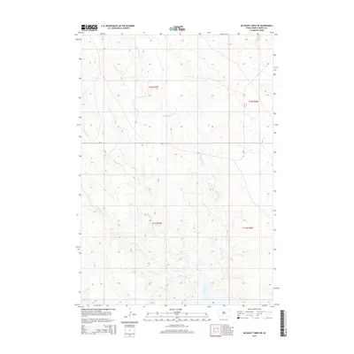
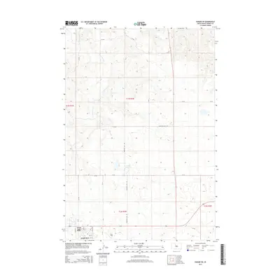
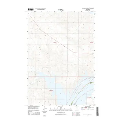
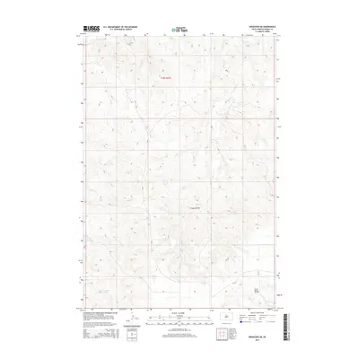
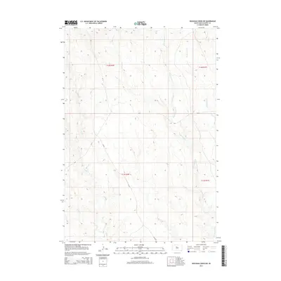
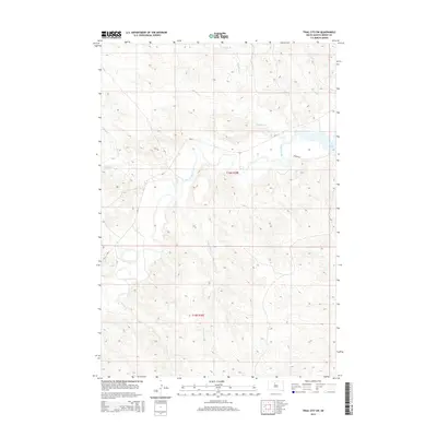
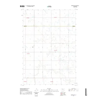
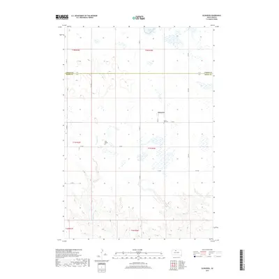
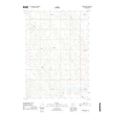
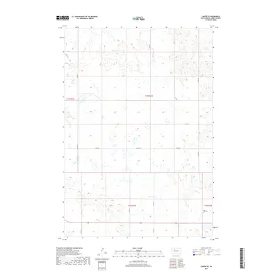
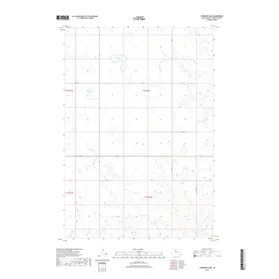
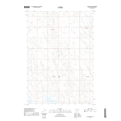
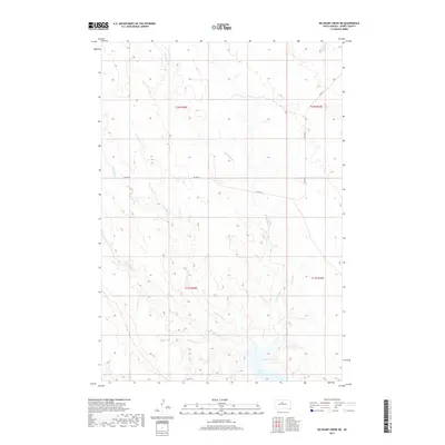
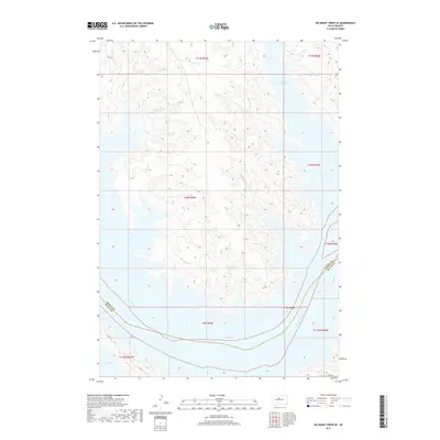
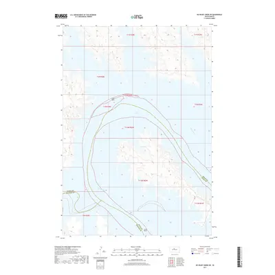
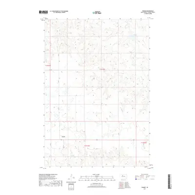
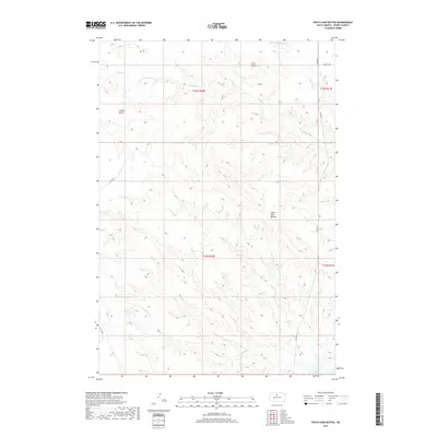
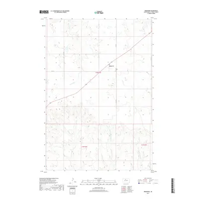
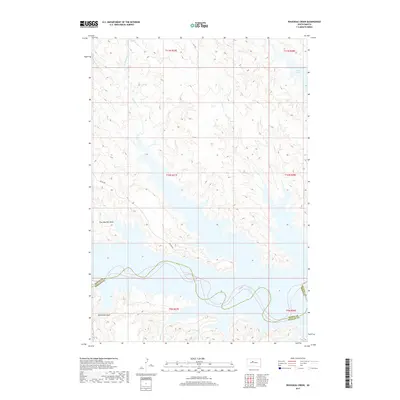
The Cheyenne River Indian Reservation landscape is defined by the high plateau country of Dewey County, where the transition from mid-century ranching to modern land management is visible. The settlement of Virginia sits near the upper reaches of Hard Creek, serving as a focal point for this expansive area of the Missouri River Basin. A significant historical marker on this map is the C. M. St. P. & P. RR. (Dismantled) line, which once provided critical transport for the region's agricultural and mineral outputs, including materials from local sites like the Gravel Pit. The map captures the area as it appeared during the development of the Missouri River Basin, with revisions through the 1980s showing changes in the road networks across the townships of T. 15 N. and T. 14 N.
Find a feature on this map
10 named features on this map. Tap any name to fly to it.
Don’t see what you’re looking for? This feature index may not catch every label — zoom into the map to look around manually.
Map Details
Editions of this 1951 Virginia Map
3 editions found
Historical Maps of Virginia Through Time
224 maps found

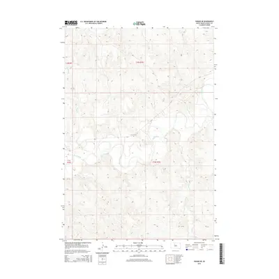
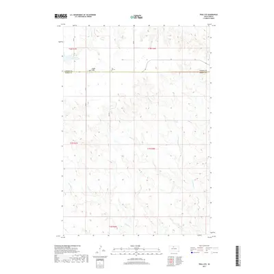
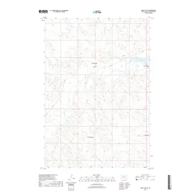
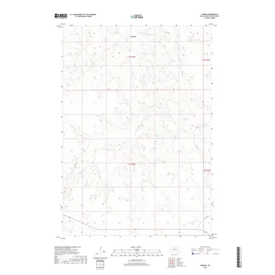
1951 Promise
Dewey County, SD

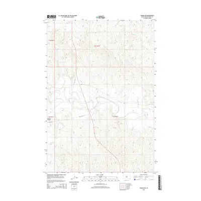
1951 Ridgeview NE
Dewey County, SD

1951 Ridgeview NW
Dewey County, SD
1951 Virginia
Dewey County, SD

1952 Glencross SE
Dewey County, SD

1952 Lantry NE
Dewey County, SD

1952 Lantry NW
Dewey County, SD

1952 Parade NE
Dewey County, SD

1952 Parade NW
Dewey County, SD

1952 Trail City SW
Dewey County, SD

1956 Herbert Creek SE
Dewey County, SD

1956 Rousseau Creek SW
Dewey County, SD

1968 Moreau
Dewey County, SD

1968 Moreau NW
Dewey County, SD

1968 Moreau SE
Dewey County, SD

1969 Artichoke Butte NW
Dewey County, SD

1969 Four Bear Creek
Dewey County, SD

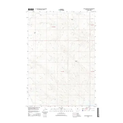
1969 No Heart Creek SE
Dewey County, SD

1969 No Heart Creek SW
Dewey County, SD

1969 Patch Skin Buttes SW
Dewey County, SD

1969 Rousseau Creek
Dewey County, SD

1970 Patch Skin Buttes
Dewey County, SD

1975 Glencross
Dewey County, SD

1975 Glencross NE
Dewey County, SD

1975 Laundreaux Butte
Dewey County, SD

1975 Trail City
Dewey County, SD

1978 Brewer Butte
Dewey County, SD

1978 Firesteel
Dewey County, SD

1978 Isabel SW
Dewey County, SD

1978 Little Moreau Lake
Dewey County, SD

1978 Livermant Lake
Dewey County, SD

1978 Peach Lake
Dewey County, SD

1981 Charlie Creek
Dewey County, SD

1981 Herbert Creek NE
Dewey County, SD

1981 Lantry SE
Dewey County, SD

1981 La Plant SW
Dewey County, SD

1981 No Heart Creek
Dewey County, SD

1981 No Heart Creek NE
Dewey County, SD

1981 Parade
Dewey County, SD

1981 Parade SW
Dewey County, SD

1981 Ridgeview
Dewey County, SD

1981 Ridgeview SW
Dewey County, SD

1981 Rousseau Creek NW
Dewey County, SD

1981 Stove Creek
Dewey County, SD
2012 Artichoke Butte NW
Dewey County, SD
2012 Brewer Butte
Dewey County, SD
2012 Charlie Creek
Dewey County, SD
2012 Firesteel
Dewey County, SD
2012 Four Bear Creek
Dewey County, SD
2012 Glencross
Dewey County, SD
2012 Glencross NE
Dewey County, SD
2012 Glencross SE
Dewey County, SD
2012 Herbert Creek NE
Dewey County, SD
2012 Herbert Creek SE
Dewey County, SD
2012 Isabel SW
Dewey County, SD
2012 Lantry NE
Dewey County, SD
2012 Lantry NW
Dewey County, SD
2012 Lantry SE
Dewey County, SD
2012 La Plant SW
Dewey County, SD
2012 Laundreaux Butte
Dewey County, SD
2012 Little Moreau Lake
Dewey County, SD
2012 Livermant Lake
Dewey County, SD
2012 Moreau
Dewey County, SD
2012 Moreau NW
Dewey County, SD
2012 Moreau SE
Dewey County, SD

2012 No Heart Creek
Dewey County, SD
2012 No Heart Creek NE
Dewey County, SD
2012 No Heart Creek SE
Dewey County, SD
2012 No Heart Creek SW
Dewey County, SD
2012 Parade
Dewey County, SD
2012 Parade NE
Dewey County, SD
2012 Parade NW
Dewey County, SD
2012 Parade SW
Dewey County, SD
2012 Patch Skin Buttes
Dewey County, SD
2012 Patch Skin Buttes SW
Dewey County, SD
2012 Peach Lake
Dewey County, SD
2012 Promise
Dewey County, SD
2012 Ridgeview
Dewey County, SD
2012 Ridgeview NE
Dewey County, SD
2012 Ridgeview NW
Dewey County, SD
2012 Ridgeview SW
Dewey County, SD
2012 Rousseau Creek
Dewey County, SD
2012 Rousseau Creek NW
Dewey County, SD
2012 Rousseau Creek SW
Dewey County, SD
2012 Stove Creek
Dewey County, SD
2012 Trail City
Dewey County, SD
2012 Trail City SW
Dewey County, SD
2012 Virginia
Dewey County, SD
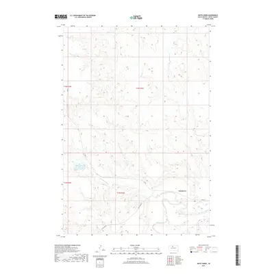
2012 White Horse
Dewey County, SD
2015 Artichoke Butte NW
Dewey County, SD
2015 Brewer Butte
Dewey County, SD
2015 Charlie Creek
Dewey County, SD
2015 Firesteel
Dewey County, SD
2015 Four Bear Creek
Dewey County, SD
2015 Glencross
Dewey County, SD
2015 Glencross NE
Dewey County, SD
2015 Glencross SE
Dewey County, SD
2015 Herbert Creek NE
Dewey County, SD
2015 Herbert Creek SE
Dewey County, SD
2015 Isabel SW
Dewey County, SD
2015 Lantry NE
Dewey County, SD
2015 Lantry NW
Dewey County, SD
2015 Lantry SE
Dewey County, SD
2015 La Plant SW
Dewey County, SD
2015 Laundreaux Butte
Dewey County, SD
2015 Little Moreau Lake
Dewey County, SD
2015 Livermant Lake
Dewey County, SD
2015 Moreau
Dewey County, SD
2015 Moreau NW
Dewey County, SD
2015 Moreau SE
Dewey County, SD
2015 No Heart Creek
Dewey County, SD
2015 No Heart Creek NE
Dewey County, SD
2015 No Heart Creek SE
Dewey County, SD
2015 No Heart Creek SW
Dewey County, SD
2015 Parade
Dewey County, SD
2015 Parade NE
Dewey County, SD
2015 Parade NW
Dewey County, SD
2015 Parade SW
Dewey County, SD
2015 Patch Skin Buttes
Dewey County, SD
2015 Patch Skin Buttes SW
Dewey County, SD
2015 Peach Lake
Dewey County, SD
2015 Promise
Dewey County, SD
2015 Ridgeview
Dewey County, SD
2015 Ridgeview NE
Dewey County, SD
2015 Ridgeview NW
Dewey County, SD
2015 Ridgeview SW
Dewey County, SD
2015 Rousseau Creek
Dewey County, SD
2015 Rousseau Creek NW
Dewey County, SD
2015 Rousseau Creek SW
Dewey County, SD
2015 Stove Creek
Dewey County, SD
2015 Trail City
Dewey County, SD
2015 Trail City SW
Dewey County, SD
2015 Virginia
Dewey County, SD
2015 White Horse
Dewey County, SD
2017 Artichoke Butte NW
Dewey County, SD
2017 Brewer Butte
Dewey County, SD
2017 Charlie Creek
Dewey County, SD
2017 Firesteel
Dewey County, SD
2017 Four Bear Creek
Dewey County, SD
2017 Glencross
Dewey County, SD
2017 Glencross NE
Dewey County, SD
2017 Glencross SE
Dewey County, SD
2017 Herbert Creek NE
Dewey County, SD
2017 Herbert Creek SE
Dewey County, SD
2017 Isabel SW
Dewey County, SD
2017 Lantry NE
Dewey County, SD
2017 Lantry NW
Dewey County, SD
2017 Lantry SE
Dewey County, SD
2017 La Plant SW
Dewey County, SD
2017 Laundreaux Butte
Dewey County, SD
2017 Little Moreau Lake
Dewey County, SD
2017 Livermant Lake
Dewey County, SD
2017 Moreau
Dewey County, SD
2017 Moreau NW
Dewey County, SD
2017 Moreau SE
Dewey County, SD
2017 No Heart Creek
Dewey County, SD
2017 No Heart Creek NE
Dewey County, SD
2017 No Heart Creek SE
Dewey County, SD
2017 No Heart Creek SW
Dewey County, SD
2017 Parade
Dewey County, SD
2017 Parade NE
Dewey County, SD
2017 Parade NW
Dewey County, SD
2017 Parade SW
Dewey County, SD
2017 Patch Skin Buttes
Dewey County, SD
2017 Patch Skin Buttes SW
Dewey County, SD
2017 Peach Lake
Dewey County, SD
2017 Promise
Dewey County, SD
2017 Ridgeview
Dewey County, SD
2017 Ridgeview NE
Dewey County, SD
2017 Ridgeview NW
Dewey County, SD
2017 Ridgeview SW
Dewey County, SD
2017 Rousseau Creek
Dewey County, SD
2017 Rousseau Creek NW
Dewey County, SD
2017 Rousseau Creek SW
Dewey County, SD
2017 Stove Creek
Dewey County, SD
2017 Trail City
Dewey County, SD
2017 Trail City SW
Dewey County, SD
2017 Virginia
Dewey County, SD
2017 White Horse
Dewey County, SD

2021 Artichoke Butte NW
Dewey County, SD

2021 Brewer Butte
Dewey County, SD

2021 Charlie Creek
Dewey County, SD

2021 Firesteel
Dewey County, SD

2021 Four Bear Creek
Dewey County, SD

2021 Glencross
Dewey County, SD

2021 Glencross NE
Dewey County, SD

2021 Glencross SE
Dewey County, SD

2021 Herbert Creek NE
Dewey County, SD

2021 Herbert Creek SE
Dewey County, SD

2021 Isabel SW
Dewey County, SD

2021 Lantry NE
Dewey County, SD

2021 Lantry NW
Dewey County, SD

2021 Lantry SE
Dewey County, SD

2021 La Plant SW
Dewey County, SD

2021 Laundreaux Butte
Dewey County, SD

2021 Little Moreau Lake
Dewey County, SD

2021 Livermant Lake
Dewey County, SD

2021 Moreau
Dewey County, SD

2021 Moreau NW
Dewey County, SD

2021 Moreau SE
Dewey County, SD

2021 No Heart Creek
Dewey County, SD

2021 No Heart Creek NE
Dewey County, SD

2021 No Heart Creek SE
Dewey County, SD

2021 No Heart Creek SW
Dewey County, SD

2021 Parade
Dewey County, SD

2021 Parade NE
Dewey County, SD

2021 Parade NW
Dewey County, SD

2021 Parade SW
Dewey County, SD

2021 Patch Skin Buttes
Dewey County, SD

2021 Patch Skin Buttes SW
Dewey County, SD

2021 Peach Lake
Dewey County, SD

2021 Promise
Dewey County, SD

2021 Ridgeview
Dewey County, SD

2021 Ridgeview NE
Dewey County, SD

2021 Ridgeview NW
Dewey County, SD

2021 Ridgeview SW
Dewey County, SD

2021 Rousseau Creek
Dewey County, SD

2021 Rousseau Creek NW
Dewey County, SD

2021 Rousseau Creek SW
Dewey County, SD

2021 Stove Creek
Dewey County, SD

2021 Trail City
Dewey County, SD

2021 Trail City SW
Dewey County, SD

2021 Virginia
Dewey County, SD

2021 White Horse
Dewey County, SD