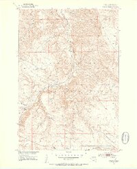
1951 Map of Virginia
USGS Topo · Published 1953About this map
The Cheyenne River Indian Reservation landscape in the early 1950s is defined by the winding course of Virginia Creek as it carves through the undulating breaks of Dewey County. This survey reflects a period of infrastructure development for the Missouri River Basin, capturing the remote settlement of Virginia and its relationship to the local topography. A primary corridor of activity follows the Chicago Milwaukee St Paul and Pacific railroad, which tracks along the creek valley, providing a vital transport link through this open country. Small-scale industrial traces, such as a Gravel Pit near the creek, signify the local materials used for maintaining the region's burgeoning road and rail network during this era of post-war western development.
Find a feature on this map
7 named features on this map. Tap any name to fly to it.
Don’t see what you’re looking for? This feature index may not catch every label — zoom into the map to look around manually.
Map Details
Editions of this 1951 Virginia Map
3 editions found
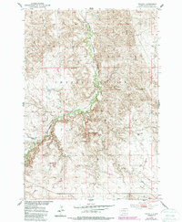
Other maps of this area

1951 · Virginia
USGS Topo · 1:24,000

1951 · La Plant
USGS Topo · 1:24,000

1951 · Promise
USGS Topo · 1:24,000

1952 · Trail City SW
USGS Topo · 1:24,000

1953 · McIntosh
USGS Topo · 1:250,000

1958 · McIntosh
USGS Topo · 1:250,000

1968 · Moreau
USGS Topo · 1:24,000

1969 · Patch Skin Buttes SW
USGS Topo · 1:24,000

1970 · Patch Skin Buttes
USGS Topo · 1:24,000
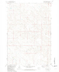
1981 · Stove Creek
USGS Topo · 1:24,000