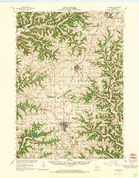
1965 Map of Viroqua
USGS Topo · Published 1967About this map
Coon Prairie and Round Prairie dominate the central landscape of this Driftless Area survey, revealing a mid-century agricultural region defined by its unique coulee and ridge topography. The city of Viroqua serves as the primary hub, showing concentrated development including the Fairground, Armory, and a Radio Tower. The transportation network is anchored by the Chicago Milwaukee St Paul and Pacific RR, which winds through the valleys connecting smaller settlements like Westby and Coon Valley.
Find a feature on this map
99 named features on this map. Tap any name to fly to it.
Don’t see what you’re looking for? This feature index may not catch every label — zoom into the map to look around manually.
Map Details
Editions of this 1965 Viroqua Map
2 editions found
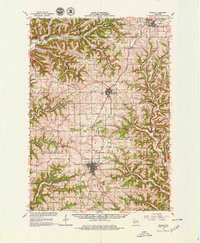
Other maps of this area

1903 · Waukon
USGS Topo · 1:125,000

1909 · Sparta
USGS Topo · 1:62,500

1916 · Tomah
USGS Topo · 1:62,500

1923 · Viroqua
USGS Topo · 1:62,500

1924 · Gays Mills
USGS Topo · 1:62,500

1926 · Gays Mills
USGS Topo · 1:62,500

1926 · Stoddard
USGS Topo · 1:62,500

1926 · Viroqua
USGS Topo · 1:62,500

1926 · La Farge
USGS Topo · 1:62,500

1927 · La Crosse
USGS Topo · 1:62,500