
1954 Map of Vista
USGS Topo · Published 1956About this map
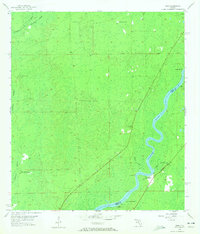
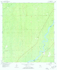
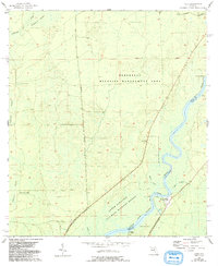
The Suwannee River carves a winding path through this mid-century Florida landscape, marking the natural boundary between Dixie and Levy counties. While the vast California Swamp dominates the western half of the map, human activity is concentrated along the riverbanks at small settlements like Fowler Bluff and Vista. These riverfront locations, along with Week Landing and Jack Landing, highlight the historical reliance on the Suwannee for transportation and local commerce in this era.
Find a feature on this map
15 named features on this map. Tap any name to fly to it.
Don’t see what you’re looking for? This feature index may not catch every label — zoom into the map to look around manually.
Map Details
Editions of this 1954 Vista Map
4 editions found
Other maps of this area

1954 · Eugene
USGS Topo · 1:24,000

1954 · Cross City SW
USGS Topo · 1:24,000

1954 · Suwannee
USGS Topo · 1:24,000

1954 · Manatee Springs
USGS Topo · 1:24,000

1954 · Chiefland SW
USGS Topo · 1:24,000

1954 · East Pass
USGS Topo · 1:24,000

1954 · Gainesville
USGS Topo · 1:250,000

1955 · Shired Island
USGS Topo · 1:24,000

1958 · Gainesville
USGS Topo · 1:250,000

1959 · Gainesville
USGS Topo · 1:250,000