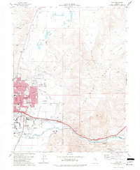
1975 Map of Vista
USGS Topo · Published 1977About this map
The city of Sparks anchors this mid-1970s survey, showing a period of significant suburban and industrial expansion eastward from the urban core. Residential development is clustered near landmarks like Reed High Sch and Lincoln Park Sch, while the south-central portion is dominated by the University of Nevada Farm and the Truckee River corridor. The geography transitions quickly from the valley floor into the steep terrain of the Pah Rah Range and the Virginia Range, separated by the river as it flows toward Mustang.
Find a feature on this map
55 named features on this map. Tap any name to fly to it.
Don’t see what you’re looking for? This feature index may not catch every label — zoom into the map to look around manually.
Map Details
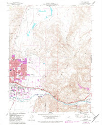
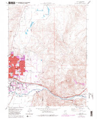
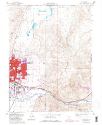
Editions of this 1975 Vista Map
4 editions found
Other maps of this area

1891 · Carson
USGS Topo · 1:125,000

1891 · Reno
USGS Topo · 1:125,000

1893 · Carson
USGS Topo · 1:125,000

1893 · Reno
USGS Topo · 1:125,000

1950 · Virginia City
USGS Topo · 1:62,500

1950 · Mt. Rose
USGS Topo · 1:62,500

1950 · Reno
USGS Topo · 1:62,500

1951 · Reno
USGS Topo · 1:62,500

1952 · Mt. Rose
USGS Topo · 1:62,500

1952 · Virginia City
USGS Topo · 1:62,500