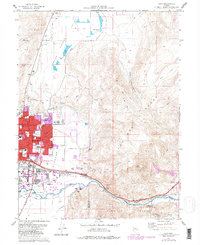
1975 Map of Vista
USGS Topo · Published 1983About this map
Sparks expands eastward into the Spanish Springs Valley in this mid-1970s record of Washoe County’s urban and industrial growth. The landscape is defined by the sharp transition between the developing city grid and the arid elevations of the Pah Rah Range and Virginia Range. Along the southern corridor, the Truckee River and the Southern Pacific railroad provide the historical infrastructure for the small riverside settlements of Vista, Mustang, and Hafed.
Find a feature on this map
59 named features on this map. Tap any name to fly to it.
Don’t see what you’re looking for? This feature index may not catch every label — zoom into the map to look around manually.
Map Details
Editions of this 1975 Vista Map
4 editions found
Other maps of this area

1891 · Carson
USGS Topo · 1:125,000

1891 · Reno
USGS Topo · 1:125,000

1893 · Carson
USGS Topo · 1:125,000

1893 · Reno
USGS Topo · 1:125,000

1950 · Virginia City
USGS Topo · 1:62,500

1950 · Mt. Rose
USGS Topo · 1:62,500

1950 · Reno
USGS Topo · 1:62,500

1951 · Reno
USGS Topo · 1:62,500

1952 · Mt. Rose
USGS Topo · 1:62,500

1952 · Virginia City
USGS Topo · 1:62,500