
1948 Map of Voltaire
USGS Topo · Published 1955About this map
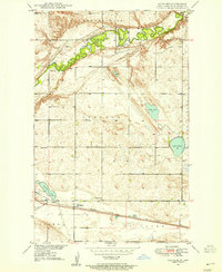
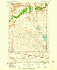
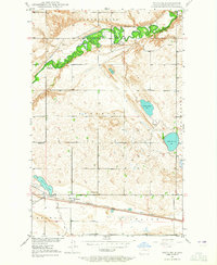
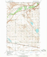
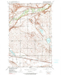
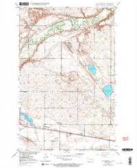
The Minneapolis St Paul and Sault Ste Marie railroad cuts a straight path across the southern plains of McHenry County, anchoring the small settlement of Voltaire. This late-1940s landscape is defined by the winding meanders of the Souris River in the north and a scattered collection of glacial prairie potholes, including Stink Lake and Lake Hester. The map reveals a highly structured rural community organized into townships like Lebanon and Voltaire. Local genealogy and social history are well-preserved through the inclusion of several country schools such as Howe Sch and Roach Sch, alongside community hubs like Hjerdal Ch. The presence of the Walley Cem and Westgard Cem near the river bluffs provides specific points of interest for family historians tracing the early settlers of this North Dakota prairie region.
Find a feature on this map
21 named features on this map. Tap any name to fly to it.
Don’t see what you’re looking for? This feature index may not catch every label — zoom into the map to look around manually.
Map Details
Editions of this 1948 Voltaire Map
7 editions found
Other maps of this area

1929 · Kongsberg
USGS Topo · 1:62,500

1929 · Balfour
USGS Topo · 1:62,500

1948 · Velva
USGS Topo · 1:62,500

1949 · Norwich
USGS Topo · 1:24,000

1949 · Simcoe
USGS Topo · 1:24,000

1949 · Velva
USGS Topo · 1:24,000

1949 · Voltaire
USGS Topo · 1:24,000

1949 · Karlsruhe NW
USGS Topo · 1:24,000

1951 · Velva
USGS Topo · 1:62,500

1954 · Minot
USGS Topo · 1:250,000