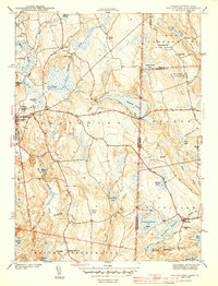
1943 Map of Voluntown
USGS Topo · Published 1943About this map
Voluntown and the village of Rockville anchor this 1942 survey of the Connecticut and Rhode Island borderlands. The landscape is defined by an intricate network of glacial ponds and watercourses, including the expansive Beach Pond and Yawgoog Pond, which supported the early industrial needs of small mill ponds like Sawmill Pond and Doaneville Pond. This transition from an early rural manufacturing base to a recreational and conservation landscape is evident in the establishment of Beach Pond State Park and the preservation of rugged heights like Mt Misery. For local historians and genealogists, the map provides precise locations for legacy educational and community sites such as the Pendleton Hill Sch, Wylie Sch, and the Rockville Cem, alongside the Fire Tower on Escoheag Hill. The boundary between New London County and Washington County cuts through these waters, marking a shared regional geography of rocky hills and hardwood swamps.
Find a feature on this map
60 named features on this map. Tap any name to fly to it.
Don’t see what you’re looking for? This feature index may not catch every label — zoom into the map to look around manually.
Map Details
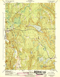
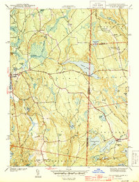
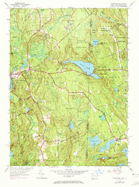
Editions of this 1943 Voluntown Map
4 editions found
Other maps of this area

1889 · Stonington
USGS Topo · 1:62,500

1889 · Charlestown
USGS Topo · 1:62,500

1889 · Moosup
USGS Topo · 1:62,500

1890 · Kent
USGS Topo · 1:62,500

1893 · Moosup
USGS Topo · 1:62,500

1893 · Stonington
USGS Topo · 1:62,500

1894 · Kent
USGS Topo · 1:62,500

1919 · Charlestown
USGS Topo · 1:62,500

1920 · Moosup
USGS Topo · 1:62,500

1921 · Charlestown
USGS Topo · 1:62,500