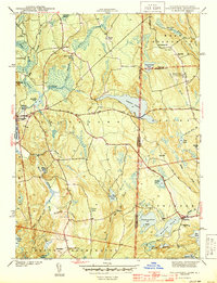
1943 Map of Voluntown
USGS Topo · Published 1943About this map
The Pachaug River and Green Fall River systems define this 1940s landscape along the Connecticut and Rhode Island border. At the time of this survey, the area was characterized by a dense network of ponds and swamps, including Beach Pond and Billings Lake, which supported local industry and recreation. The village of Voluntown serves as a western anchor, while the small settlements of Rockville and Escoheag illustrate the rural distribution of populations across the state line. Genealogy researchers will find specific localized landmarks such as Rockville Cem, Wylie Sch, and Pendleton Hill Sch. The presence of the Fish Hatchery near the northern border and the Fire Tower on Escoheag Hill highlights the region's mid-century focus on conservation and forestry management within the rugged terrain of Beach Pond State Park.
Find a feature on this map
62 named features on this map. Tap any name to fly to it.
Don’t see what you’re looking for? This feature index may not catch every label — zoom into the map to look around manually.
Map Details
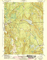
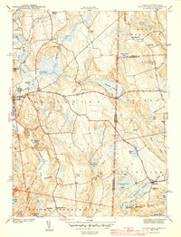
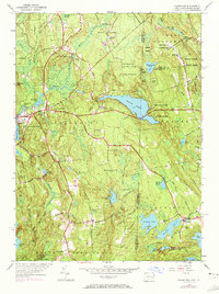
Editions of this 1943 Voluntown Map
4 editions found
Other maps of this area

1889 · Stonington
USGS Topo · 1:62,500

1889 · Charlestown
USGS Topo · 1:62,500

1889 · Moosup
USGS Topo · 1:62,500

1890 · Kent
USGS Topo · 1:62,500

1893 · Moosup
USGS Topo · 1:62,500

1893 · Stonington
USGS Topo · 1:62,500

1894 · Kent
USGS Topo · 1:62,500

1919 · Charlestown
USGS Topo · 1:62,500

1920 · Moosup
USGS Topo · 1:62,500

1921 · Charlestown
USGS Topo · 1:62,500