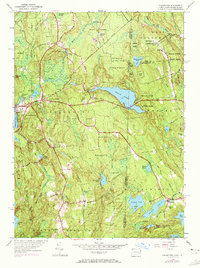
1943 Map of Voluntown
USGS Topo · Published 1972About this map
The Pachaug State Forest dominates this borderland landscape, where the Connecticut and Rhode Island state line intersects a network of glacial ponds and wetlands. Established settlements like Voluntown and Rockville anchor the local geography, while the Pachaug River and Beach Pond provide significant water resources. The terrain is marked by prominent elevations such as Escoheag Hill and Pendleton Hill, with a Lookout Tower positioned for fire observation over the dense woodlands.
Find a feature on this map
48 named features on this map. Tap any name to fly to it.
Don’t see what you’re looking for? This feature index may not catch every label — zoom into the map to look around manually.
Map Details
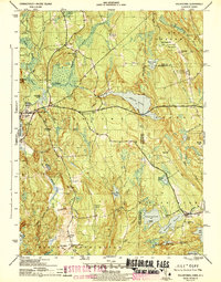
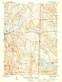
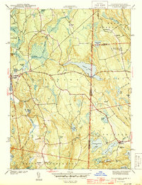
Editions of this 1943 Voluntown Map
4 editions found
Other maps of this area

1889 · Stonington
USGS Topo · 1:62,500

1889 · Charlestown
USGS Topo · 1:62,500

1889 · Moosup
USGS Topo · 1:62,500

1890 · Kent
USGS Topo · 1:62,500

1893 · Moosup
USGS Topo · 1:62,500

1893 · Stonington
USGS Topo · 1:62,500

1894 · Kent
USGS Topo · 1:62,500

1919 · Charlestown
USGS Topo · 1:62,500

1920 · Moosup
USGS Topo · 1:62,500

1921 · Charlestown
USGS Topo · 1:62,500