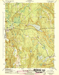
1943 Map of Voluntown
USGS Topo · Published 1943About this map
Voluntown and the surrounding borderlands of New London Co, Connecticut, and Washington Co, Rhode Island, are depicted here in a period of transition between traditional rural life and early conservation efforts. The landscape is defined by its extensive water systems, from the prominent Beach Pond to the smaller Wincheck Pond and the winding Pachaug River. These waterways supported early industrial centers like Doaneville Pond and Beachdale Pond, which are visible alongside the established community at Rockville.
Find a feature on this map
58 named features on this map. Tap any name to fly to it.
Don’t see what you’re looking for? This feature index may not catch every label — zoom into the map to look around manually.
Map Details
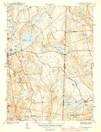
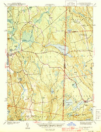
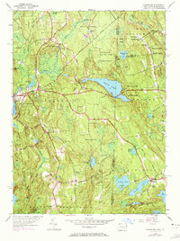
Editions of this 1943 Voluntown Map
4 editions found
Other maps of this area

1889 · Stonington
USGS Topo · 1:62,500

1889 · Charlestown
USGS Topo · 1:62,500

1889 · Moosup
USGS Topo · 1:62,500

1890 · Kent
USGS Topo · 1:62,500

1893 · Moosup
USGS Topo · 1:62,500

1893 · Stonington
USGS Topo · 1:62,500

1894 · Kent
USGS Topo · 1:62,500

1919 · Charlestown
USGS Topo · 1:62,500

1920 · Moosup
USGS Topo · 1:62,500

1921 · Charlestown
USGS Topo · 1:62,500