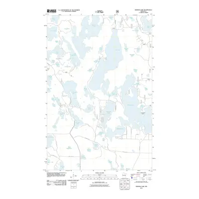
2011 Map of Wabana Lake
USGS Topo · Published 2011About this map
Wabana Lake and the Wabana Impoundment anchor this lake-filled landscape in Itasca County, showing a complex network of glacial water bodies and residential lakefront development. The small settlement of Martin appears in the north, while the shoreline around Arrowhead Point is accessed by a web of local roads such as Wakeman Shores Dr and Havenwood Dr.
Find a feature on this map
73 named features on this map. Tap any name to fly to it.
Don’t see what you’re looking for? This feature index may not catch every label — zoom into the map to look around manually.
Map Details
Editions of this 2011 Wabana Lake Map
This is the sole edition of this map. No revisions or reprints were ever made.
Other maps of this area

1919 · Release
USGS Topo · 1:62,500

1919 · Marcell
USGS Topo · 1:62,500

1920 · Trout Lake
USGS Topo · 1:62,500

1943 · Release
USGS Topo · 1:62,500

1952 · Bovey
USGS Topo · 1:24,000

1953 · Cohasset East
USGS Topo · 1:24,000

1953 · Cohasset West
USGS Topo · 1:24,000

1954 · Hibbing
USGS Topo · 1:250,000

1957 · Hibbing
USGS Topo · 1:250,000

1958 · Hibbing
USGS Topo · 1:250,000