
1951 Map of Wabasha
USGS Topo · Published 1951About this map
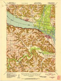
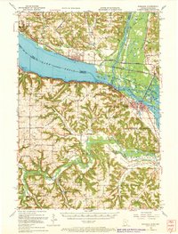
Lake Pepin dominates this riverine landscape, where the Mississippi River widens significantly between the bluffs of Minnesota and Wisconsin. The river's complex network of backwaters is preserved within the Upper Mississippi River Wildlife and Fish Refuge, featuring named channels like Buffalo Slough and Cleveland Slough. The region's mid-century rural character is defined by a high density of country schools, such as the Scott Settlement Sch and Bogus Creek Sch, which served the scattered farming communities on the high prairies above the river valleys.
Find a feature on this map
107 named features on this map. Tap any name to fly to it.
Don’t see what you’re looking for? This feature index may not catch every label — zoom into the map to look around manually.
Map Details
Editions of this 1951 Wabasha Map
3 editions found
Other maps of this area

1929 · Durand
USGS Topo · 1:62,500

1932 · Cochrane
USGS Topo · 1:62,500

1932 · Wabasha
USGS Topo · 1:62,500

1932 · Durand
USGS Topo · 1:62,500

1932 · Alma
USGS Topo · 1:62,500

1934 · Plainview
USGS Topo · 1:62,500

1934 · Cochrane
USGS Topo · 1:62,500

1935 · Rochester
USGS Topo · 1:48,000

1935 · Arkansaw
USGS Topo · 1:48,000

1937 · Cochrane
USGS Topo · 1:62,500