Loading...
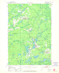
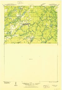
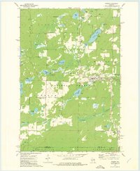
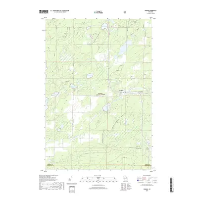
Loading map...1951 Map of Wabeno
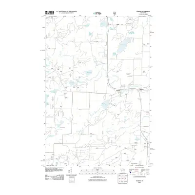
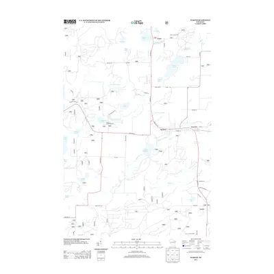
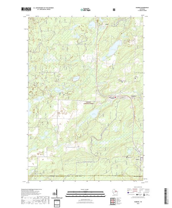
USGS Topo · Published 1969About this map
Wabeno and neighboring Soperton serve as the primary hubs in this lake-dotted landscape of the early 1950s. The region is defined by the heavy timber and water resources of the Nicolet National Forest, where the Chicago and North Western railroad provides a vital transportation spine connecting northern timberlands to southern markets. The map reveals a community structured around small rural schools like Windfall Sch and Rummel Sch, alongside social centers such as the Indian Community Hall.
Find a feature on this map
122 named features on this map. Tap any name to fly to it.
Don’t see what you’re looking for? This feature index may not catch every label — zoom into the map to look around manually.
Map Details
Date Portrayed1951
Date Published1969
PublisherU.S. Geological Survey
Map TypeTopographic
Scale1:48,000
Physical Dimensions22.1 x 27.2 inches
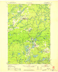
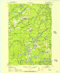
Editions of this 1951 Wabeno Map
3 editions found
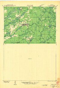
Historical Maps of Laona Through Time
10 maps found


Featured Locations
Source Details
SourceU.S. Geological Survey
CopyrightPublic Domain