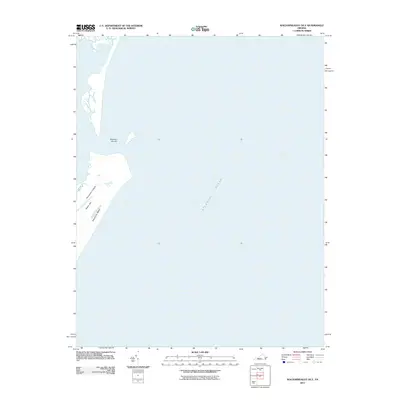
2011 Map of Wachapreague OE E
USGS Topo · Published 2011About this map
Parramore Island dominates the western edge of this coastal survey, representing a significant barrier island landmass along the Virginia coast. The map captures the delicate topography of the shoreline, where the shifting sands of Parramore Beach meet the vast Atlantic Ocean. Inland on the island, Italian Hill provides a distinct topographic point of interest amidst the low-lying marsh and sand. To the northeast, the presence of Dawson Shoals indicates the submerged hazards and shifting underwater geography characteristic of this Atlantic maritime environment. This 2011 digital survey focuses heavily on the natural hydrography and shoreline geomorphology of the Eastern Shore, providing a precise record of the island's footprint before subsequent seasonal storms and tidal erosion altered the landscape.
Find a feature on this map
5 named features on this map. Tap any name to fly to it.
Don’t see what you’re looking for? This feature index may not catch every label — zoom into the map to look around manually.
Map Details
Editions of this 2011 Wachapreague OE E Map
This is the sole edition of this map. No revisions or reprints were ever made.
Other maps of this area

1931 · Accomac
USGS Topo · 1:48,000

1935 · Accomac
USGS Topo · 1:62,500

1941 · Broadwater
USGS Topo · 1:62,500

1942 · Little Machipongo Inlet
USGS Topo · 1:24,000

1946 · Eastville
USGS Topo · 1:250,000
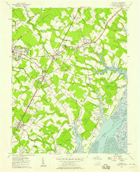
1957 · Accomac
USGS Topo · 1:24,000
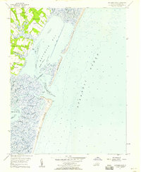
1957 · Metomkin Inlet
USGS Topo · 1:24,000

1961 · Eastville
USGS Topo · 1:250,000

1966 · Eastville
USGS Topo · 1:250,000
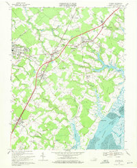
1968 · Accomac
USGS Topo · 1:24,000