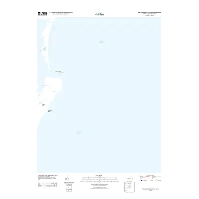
2013 Map of Wachapreague OE E
USGS Topo · Published 2013About this map
Parramore Beach and the shifting sands of the Virginia coast define this maritime landscape on the Atlantic's edge. This map reveals a complex system of barrier island geography and tidal waterways, where the Atlantic Ocean meets the intricate back-bay channels of Accomack County. Notable features include Dawson Shoals and the prominent Wachapreague Inlet, which serve as vital markers for coastal navigation and the movement of the tides.
Find a feature on this map
12 named features on this map. Tap any name to fly to it.
Don’t see what you’re looking for? This feature index may not catch every label — zoom into the map to look around manually.
Map Details
Editions of this 2013 Wachapreague OE E Map
This is the sole edition of this map. No revisions or reprints were ever made.
Other maps of this area

1931 · Accomac
USGS Topo · 1:48,000

1935 · Accomac
USGS Topo · 1:62,500

1941 · Broadwater
USGS Topo · 1:62,500

1942 · Little Machipongo Inlet
USGS Topo · 1:24,000

1946 · Eastville
USGS Topo · 1:250,000
1957 · Accomac
USGS Topo · 1:24,000
1957 · Metomkin Inlet
USGS Topo · 1:24,000

1961 · Eastville
USGS Topo · 1:250,000

1966 · Eastville
USGS Topo · 1:250,000
1968 · Accomac
USGS Topo · 1:24,000