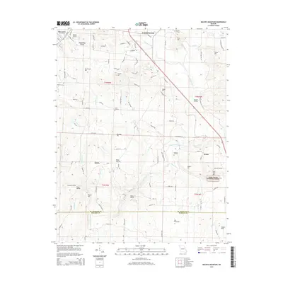
2015 Map of Wachita Mountain
USGS Topo · Published 2015About this map
Wachita Mountain anchors this rugged section of the Saint Francois Mountains, where the elevation climbs toward Knob Lick Mtn and Butler Hill. The landscape is a mix of high-relief ridges and narrow hollows like Seego Hollow and Wildcat Hollow, with the Saint Francis River cutting a winding course through the center of the sheet. Historically significant settlements like Syenite and Hamilton Town appear alongside family-named landmarks including Grainer Ridge and Tetley Hill. Genealogists will find several burial sites recorded, including the Doe Run Memorial Cemetery and the more isolated O'Bannon Cemetery. Much of the eastern terrain falls within the boundaries of the Mark Twain National Forest, while the southern portion crosses the border between St. Francois and Madison counties.
Find a feature on this map
108 named features on this map. Tap any name to fly to it.
Don’t see what you’re looking for? This feature index may not catch every label — zoom into the map to look around manually.
Map Details
Editions of this 2015 Wachita Mountain Map
This is the sole edition of this map. No revisions or reprints were ever made.
Other maps of this area

1904 · Farmington
USGS Topo · 1:62,500

1905 · Bonneterre
USGS Topo · 1:62,500

1906 · Farmington
USGS Topo · 1:62,500

1937 · Ironton
USGS Topo · 1:48,000

1939 · Fredericktown
USGS Topo · 1:48,000

1945 · Ironton
USGS Topo · 1:62,500

1946 · Ironton
USGS Topo · 1:62,500

1947 · Fredericktown
USGS Topo · 1:62,500

1949 · Rolla
USGS Topo · 1:250,000

1950 · Fredericktown
USGS Topo · 1:62,500