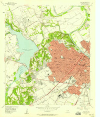
1957 Map of Waco West
USGS Topo · Published 1958About this map
The Brazos River and Bosque River frame the expanding urban core of Waco during this mid-century period of growth. This survey captures the city's western reach as it meets the shoreline of Lake Waco, a landscape defined by institutional sites and new suburban developments like Beverly Hills and Woodway. The map details a significant concentration of social history landmarks, including the Waco State Home (Orphanage) and the Methodist Home (Orphanage), alongside the sprawling US Veterans Hospital campus.
Find a feature on this map
114 named features on this map. Tap any name to fly to it.
Don’t see what you’re looking for? This feature index may not catch every label — zoom into the map to look around manually.
Map Details
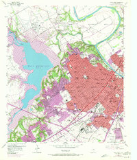
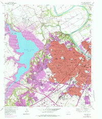
Editions of this 1957 Waco West Map
3 editions found
Other maps of this area

1892 · Temple
USGS Topo · 1:125,000

1892 · Waco
USGS Topo · 1:125,000

1920 · Waco
USGS Topo · 1:125,000

1924 · Waco 4-c
USGS Topo · 1:48,000

1924 · Waco 3-d
USGS Topo · 1:48,000

1931 · Valley Mills
USGS Topo · 1:62,500

1931 · Elm Mott
USGS Topo · 1:62,500

1931 · Mc Gregor
USGS Topo · 1:62,500

1954 · Waco
USGS Topo · 1:250,000

1955 · Waco
USGS Topo · 1:250,000