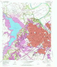
1957 Map of Waco West
USGS Topo · Published 1977About this map
The Brazos River and Bosque River define the landscape of this mid-century Texas survey, where the expanding urban footprint of Waco meets the developing shoreline of Waco Lake. The map reveals the growth of residential districts in the 1950s and 1970s, featuring a dense network of local landmarks like the Heart O' Texas Fairgrounds and the US Veterans Hospital. Transport hubs such as the Waco Municipal Airport and Banana Junction highlight the region's importance as a central Texas junction. Beyond the city center, smaller settlements like Bosqueville and Beverly Hills retain their individual character, while the river's path winds through Steinbeck Bend near Lovers Leap. This document effectively captures the transition of the McLennan County landscape as suburban expansion pushed toward Woodway and the lakefront.
Find a feature on this map
83 named features on this map. Tap any name to fly to it.
Don’t see what you’re looking for? This feature index may not catch every label — zoom into the map to look around manually.
Map Details
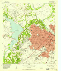
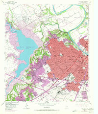
Editions of this 1957 Waco West Map
3 editions found
Other maps of this area

1892 · Temple
USGS Topo · 1:125,000

1892 · Waco
USGS Topo · 1:125,000

1920 · Waco
USGS Topo · 1:125,000

1924 · Waco 4-c
USGS Topo · 1:48,000

1924 · Waco 3-d
USGS Topo · 1:48,000

1931 · Valley Mills
USGS Topo · 1:62,500

1931 · Elm Mott
USGS Topo · 1:62,500

1931 · Mc Gregor
USGS Topo · 1:62,500

1954 · Waco
USGS Topo · 1:250,000

1955 · Waco
USGS Topo · 1:250,000