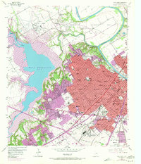
1957 Map of Waco West
USGS Topo · Published 1971About this map
The Waco Reservoir dominates the western landscape of this mid-century survey, its expansive waters fed by the North Bosque River and South Bosque River. In the east, the city of Waco expands toward the banks of the Brazos River, showing a dense network of residential streets and civic institutions as they existed before 1970s urban revisions. The map details a city in transition, marking the locations of dozens of educational and religious sites such as Cedar Ridge Sch and Grace Temple.
Find a feature on this map
104 named features on this map. Tap any name to fly to it.
Don’t see what you’re looking for? This feature index may not catch every label — zoom into the map to look around manually.
Map Details
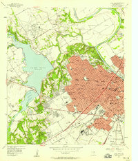
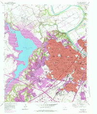
Editions of this 1957 Waco West Map
3 editions found
Other maps of this area

1892 · Temple
USGS Topo · 1:125,000

1892 · Waco
USGS Topo · 1:125,000

1920 · Waco
USGS Topo · 1:125,000

1924 · Waco 4-c
USGS Topo · 1:48,000

1924 · Waco 3-d
USGS Topo · 1:48,000

1931 · Valley Mills
USGS Topo · 1:62,500

1931 · Elm Mott
USGS Topo · 1:62,500

1931 · Mc Gregor
USGS Topo · 1:62,500

1954 · Waco
USGS Topo · 1:250,000

1955 · Waco
USGS Topo · 1:250,000