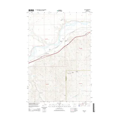
2014 Map of Waco
USGS Topo · Published 2014About this map
Waco and the nearby settlement of Fee sit along the southern bank of the Yellowstone River, which dominates the northern half of this landscape. The terrain shifts from the broad alluvial plain of Sevenmile Flat into a complex system of drainages, including Hibbard Cr and Bergum Coulee. This 2014 survey documents the modern layout of the valley as it crosses the Yellowstone Co Big Horn Co line. The southern portion of the map is defined by higher elevations near Pine Ridge, where several seasonal waterways such as Sawmill Coulee and N Fork Sorrel Horse Cr originate. Transportation in this corridor is primarily served by the Custer Frontage Rd, which runs parallel to the river and the main rail line through this portion of the Montana plains.
Find a feature on this map
23 named features on this map. Tap any name to fly to it.
Don’t see what you’re looking for? This feature index may not catch every label — zoom into the map to look around manually.
Map Details
Editions of this 2014 Waco Map
This is the sole edition of this map. No revisions or reprints were ever made.
Other maps of this area

1894 · Fort Custer
USGS Topo · 1:125,000

1954 · Hardin
USGS Topo · 1:250,000

1954 · Forsyth
USGS Topo · 1:250,000

1957 · Hardin
USGS Topo · 1:250,000

1957 · Forsyth
USGS Topo · 1:250,000

1958 · Forsyth
USGS Topo · 1:250,000

1958 · Hardin
USGS Topo · 1:250,000

1960 · Foster
USGS Topo · 1:24,000

1960 · Coal Bank Creek
USGS Topo · 1:24,000

1960 · Custer
USGS Topo · 1:24,000