2022 Map of Waconia
USGS Topo · Published 2022About this map
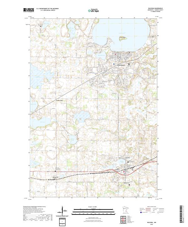
Lake Waconia dominates the northern reaches of this Carver County landscape, featuring the landmark Coney Island just offshore from the city of Waconia. The terrain reflects the dense glacial hydrology of the region, where numerous basins such as Hydes Lake, Burandt Lake, and Swan Lake are interconnected by drainage systems like Carver Cr. The map documents a blend of established town centers and rural agricultural sections, with the city of Cologne and the smaller settlement of Benton serving as southern anchors. Local genealogy is well-supported by several significant burial grounds, including Saint Josephs Cem, Lakeview / Waconia Public Cem, and the Saint John's United Church of Christ Cem located near the hamlet of Bongards. Transportation routes, ranging from the arterial Vista Blvd to the grid-patterned streets of the central townships, illustrate the modern development footprint surrounding these historic Minnesota lake communities.
Find a feature on this map
91 named features on this map. Tap any name to fly to it.
Don’t see what you’re looking for? This feature index may not catch every label — zoom into the map to look around manually.
Map Details
Editions of this 2022 Waconia Map
This is the sole edition of this map. No revisions or reprints were ever made.