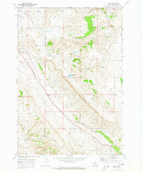
1969 Map of Wade
USGS Topo · Published 1973About this map
Wade occupies a central position in this Montana landscape, where the Burlington Northern line tracks alongside the winding course of Jack Creek. The terrain is defined by its deep drainages and ridges, featuring prominent landforms like Castle Coulee and the branching waters of the North Fork and South Fork of Bridger Creek. This 1969 field-checked survey reveals an area of dispersed settlement and resource exploration, marked by the presence of Baker Cabin to the south and Parker Cabin in the northern hills.
Find a feature on this map
24 named features on this map. Tap any name to fly to it.
Don’t see what you’re looking for? This feature index may not catch every label — zoom into the map to look around manually.
Map Details
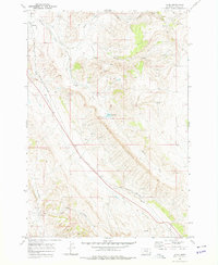
Editions of this 1969 Wade Map
2 editions found
Other maps of this area

1954 · Billings
USGS Topo · 1:250,000

1956 · Bridger
USGS Topo · 1:24,000

1957 · Billings
USGS Topo · 1:250,000

1958 · Billings
USGS Topo · 1:250,000

1967 · Section House Draw
USGS Topo · 1:24,000

1967 · Bluewater
USGS Topo · 1:24,000

1969 · Warren
USGS Topo · 1:24,000

1969 · Bowler
USGS Topo · 1:24,000
1969 · Hatcher Pass
USGS Topo · 1:24,000
1969 · Hunters Creek
USGS Topo · 1:24,000