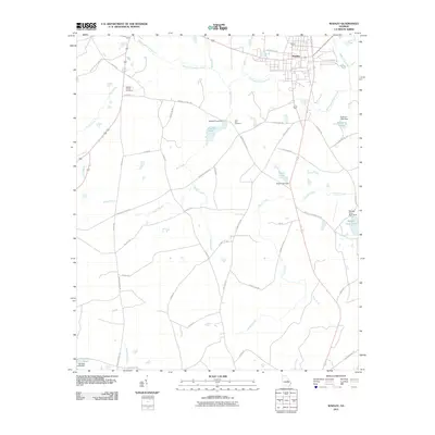
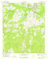
2011 Map of Wadley
USGS Topo · Published 2011About this map
The town of Wadley serves as the primary hub for this corner of Jefferson County, where the landscape is defined by the winding course of Williamson Swamp Creek. This 2011 survey reveals a rural landscape deeply tied to its water resources, with numerous earthen dams creating landmarks like Rachels Pond Dam, Easterlin Lake Dam, and Evans Lake Dam. These impoundments, along with named water bodies such as Boggy Gut Creek and Nails Creek, illustrate the local drainage patterns and agricultural history of the region.
Find a feature on this map
53 named features on this map. Tap any name to fly to it.
Don’t see what you’re looking for? This feature index may not catch every label — zoom into the map to look around manually.
Map Details
Editions of this 2011 Wadley Map
This is the sole edition of this map. No revisions or reprints were ever made.
Other maps of this area

1957 · Macon
USGS Topo · 1:250,000

1958 · Macon
USGS Topo · 1:250,000

1964 · Macon
USGS Topo · 1:250,000

1971 · Dellwood
USGS Topo · 1:24,000

1971 · Summertown
USGS Topo · 1:24,000
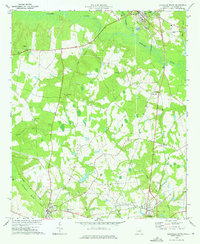
1973 · Louisville South
USGS Topo · 1:24,000
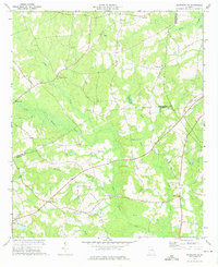
1973 · Davisboro SE
USGS Topo · 1:24,000
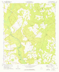
1973 · Old Town
USGS Topo · 1:24,000

1973 · Colemans Lake
USGS Topo · 1:24,000
1973 · Wadley
USGS Topo · 1:24,000