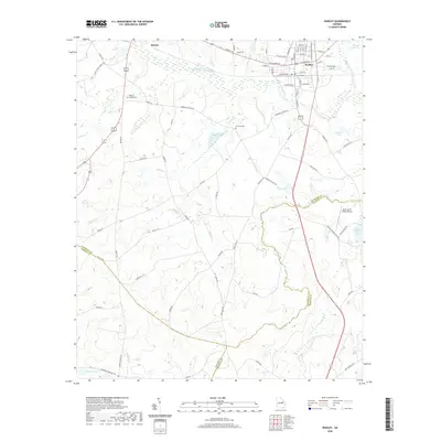
2020 Map of Wadley
USGS Topo · Published 2020About this map
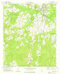
Wadley serves as a focal point for this survey, situated at a transition where multiple county lines meet in east-central Georgia. The town's grid is defined by a central rail corridor, with streets like Railroad Ave, W Calhoun St, and E Railroad St reflecting its industrial and transportation foundations. To the northwest, Bartow sits near the winding course of Williamson Swamp Cr, a major drainage system that feeds into various wetlands and tributaries including Beasleys Br and Coat Cr.
Find a feature on this map
83 named features on this map. Tap any name to fly to it.
Don’t see what you’re looking for? This feature index may not catch every label — zoom into the map to look around manually.
Map Details
Editions of this 2020 Wadley Map
This is the sole edition of this map. No revisions or reprints were ever made.
Other maps of this area

1957 · Macon
USGS Topo · 1:250,000

1958 · Macon
USGS Topo · 1:250,000

1964 · Macon
USGS Topo · 1:250,000

1971 · Dellwood
USGS Topo · 1:24,000

1971 · Summertown
USGS Topo · 1:24,000
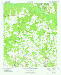
1973 · Louisville South
USGS Topo · 1:24,000
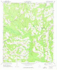
1973 · Davisboro SE
USGS Topo · 1:24,000
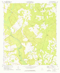
1973 · Old Town
USGS Topo · 1:24,000

1973 · Colemans Lake
USGS Topo · 1:24,000
1973 · Wadley
USGS Topo · 1:24,000