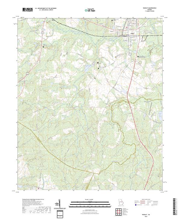
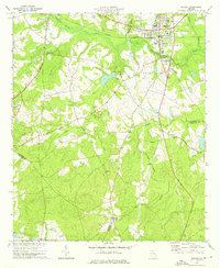
2024 Map of Wadley
USGS Topo · Published 2024About this map
Wadley stands as the primary hub in this Georgia landscape where Jefferson, Johnson, and Emanuel counties converge. The terrain is defined by a dense network of watercourses, including Williamson Swamp Creek and Mill Creek, which drain into several localized bodies of water such as Easterlin Lake and Rachels Pond. For those researching local families, the map identifies several rural landmarks like Blounts Chapel Cem and the Bethesda Primitive Baptist Church Cem. The road network, featuring names like Greens Old Mill Rd and Minton Chapel Rd, reflects a history of small communities and local industry centered around the creeks and branches. Paces South Farms Airport sits east of the main settlement, providing a modern point of orientation amidst the older agricultural and church-centered landmarks.
Find a feature on this map
87 named features on this map. Tap any name to fly to it.
Don’t see what you’re looking for? This feature index may not catch every label — zoom into the map to look around manually.
Map Details
Editions of this 2024 Wadley Map
This is the sole edition of this map. No revisions or reprints were ever made.
Other maps of this area

1957 · Macon
USGS Topo · 1:250,000

1958 · Macon
USGS Topo · 1:250,000

1964 · Macon
USGS Topo · 1:250,000

1971 · Dellwood
USGS Topo · 1:24,000

1971 · Summertown
USGS Topo · 1:24,000
1973 · Louisville South
USGS Topo · 1:24,000
1973 · Davisboro SE
USGS Topo · 1:24,000
1973 · Old Town
USGS Topo · 1:24,000

1973 · Colemans Lake
USGS Topo · 1:24,000
1973 · Wadley
USGS Topo · 1:24,000