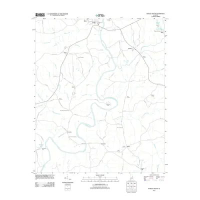
2011 Map of Wadley South
USGS Topo · Published 2011About this map
Wadley and the rural countryside of southern Randolph County are defined by the meandering course of the Tallapoosa River, which carves distinctive features like Muleshoe Bend into the landscape. This area is dotted with small, historically significant settlements such as Abanda, Frog Eye, and Bosworth, reflecting a long-standing pattern of dispersed agricultural communities. The concentration of family and community burial grounds, including the Bibby Family Cemetery, Ebenezer Cemetery, and Mountain Springs Cemetery, provides a wealth of data for genealogists tracing local lineage.
Find a feature on this map
89 named features on this map. Tap any name to fly to it.
Don’t see what you’re looking for? This feature index may not catch every label — zoom into the map to look around manually.
Map Details
Editions of this 2011 Wadley South Map
This is the sole edition of this map. No revisions or reprints were ever made.
Other maps of this area

1891 · Ashland
USGS Topo · 1:125,000

1899 · Wedowee
USGS Topo · 1:125,000

1902 · Wedowee
USGS Topo · 1:125,000

1906 · Dadeville
USGS Topo · 1:125,000

1907 · Opelika
USGS Topo · 1:125,000

1909 · Opelika
USGS Topo · 1:125,000

1953 · Atlanta
USGS Topo · 1:250,000

1955 · Phenix City
USGS Topo · 1:250,000

1957 · Phenix City
USGS Topo · 1:250,000

1957 · Atlanta
USGS Topo · 1:250,000