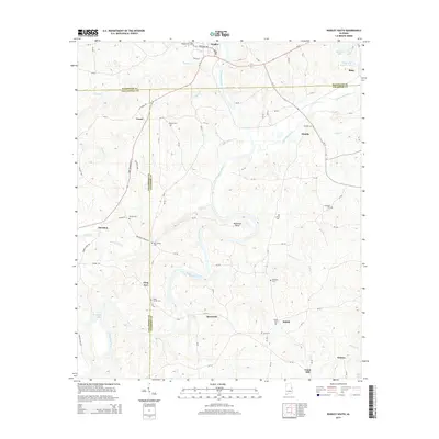
2014 Map of Wadley South
USGS Topo · Published 2014About this map
The Tallapoosa River carves a winding path through this central Alabama landscape, most notably forming the dramatic loop at Muleshoe Bend. Centered south of Wadley, the region is defined by a dense network of family and community landmarks that reflect generations of rural settlement. Small communities like Frog Eye, Bosworth, and Shiloh anchor the road system, while numerous burial grounds such as the Bibby Family Cem and Mtn Springs Cem provide essential data points for local genealogists. The topography is shaped by various tributaries, including High Pine Creek and Chikasanoxee Cr, which feed into the main river channel. This area sits at the intersection of three counties—Randolph, Tallapoosa, and Chambers—creating a complex jurisdictional boundary landscape where the river often serves as the dividing line between local rural districts and their historic settlements.
Find a feature on this map
86 named features on this map. Tap any name to fly to it.
Don’t see what you’re looking for? This feature index may not catch every label — zoom into the map to look around manually.
Map Details
Editions of this 2014 Wadley South Map
This is the sole edition of this map. No revisions or reprints were ever made.
Other maps of this area

1891 · Ashland
USGS Topo · 1:125,000

1899 · Wedowee
USGS Topo · 1:125,000

1902 · Wedowee
USGS Topo · 1:125,000

1906 · Dadeville
USGS Topo · 1:125,000

1907 · Opelika
USGS Topo · 1:125,000

1909 · Opelika
USGS Topo · 1:125,000

1953 · Atlanta
USGS Topo · 1:250,000

1955 · Phenix City
USGS Topo · 1:250,000

1957 · Phenix City
USGS Topo · 1:250,000

1957 · Atlanta
USGS Topo · 1:250,000