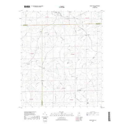
2018 Map of Wadley South
USGS Topo · Published 2018About this map
The Tallapoosa River carves a winding path through this region of eastern Alabama, creating distinctive geographic features such as Muleshoe Bend. The landscape is a network of rural settlements and family-named landmarks, anchored by the town of Wadley in the north and smaller communities like Abanda, Bosworth, and Frog Eye to the south. This area, spanning the border of Randolph and Tallapoosa counties, is characterized by numerous small cemeteries and church sites, including Beulah Cem, Mountain Springs Cem, and the Bibby Family Cem, which offer significant value for genealogical research.
Find a feature on this map
114 named features on this map. Tap any name to fly to it.
Don’t see what you’re looking for? This feature index may not catch every label — zoom into the map to look around manually.
Map Details
Editions of this 2018 Wadley South Map
This is the sole edition of this map. No revisions or reprints were ever made.
Other maps of this area

1891 · Ashland
USGS Topo · 1:125,000

1899 · Wedowee
USGS Topo · 1:125,000

1902 · Wedowee
USGS Topo · 1:125,000

1906 · Dadeville
USGS Topo · 1:125,000

1907 · Opelika
USGS Topo · 1:125,000

1909 · Opelika
USGS Topo · 1:125,000

1953 · Atlanta
USGS Topo · 1:250,000

1955 · Phenix City
USGS Topo · 1:250,000

1957 · Phenix City
USGS Topo · 1:250,000

1957 · Atlanta
USGS Topo · 1:250,000