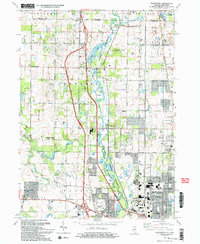
1993 Map of Wadsworth
USGS Topo · Published 1993About this map
The Des Plaines River corridor anchors this landscape on the Illinois-Wisconsin border, where the Des Plaines River Forest Preserve provides a significant greenbelt through Lake County. This early 1990s record documents the suburban evolution of Gurnee and Waukegan, showing the intricate boundaries of the Waukegan Corp Bdy as it expanded toward the Tri-State Tollway. Away from the main transit corridors, smaller settlements like Wadsworth and Old Mill Creek maintain their identity alongside older rural landmarks such as St Patricks Cem and Mount Rest Cem.
Find a feature on this map
51 named features on this map. Tap any name to fly to it.
Don’t see what you’re looking for? This feature index may not catch every label — zoom into the map to look around manually.
Map Details
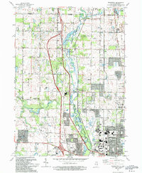
Editions of this 1993 Wadsworth Map
2 editions found
Other maps of this area

1892 · Racine
USGS Topo · 1:62,500

1893 · Silver Lake
USGS Topo · 1:62,500

1905 · Racine
USGS Topo · 1:62,500

1906 · Silver Lake
USGS Topo · 1:62,500

1906 · Waukegan
USGS Topo · 1:62,500

1908 · Waukegan
USGS Topo · 1:62,500

1920 · Grays Lake
USGS Topo · 1:62,500

1923 · Grays Lake
USGS Topo · 1:62,500

1954 · Rockford
USGS Topo · 1:250,000

1955 · Rockford
USGS Topo · 1:250,000