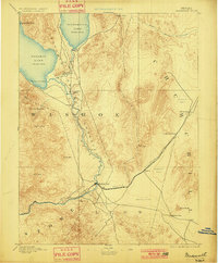
1894 Map of Wadsworth
USGS Topo · Published 1901About this map
The Truckee River defines the central axis of this late nineteenth-century reconnaissance, flowing north through the high desert of Washoe and Storey counties. This 1890 survey illustrates a critical period for the region's transport and indigenous history, centered on the settlement of Wadsworth where the Central Pacific Railroad meets the river. To the north, the Piute Indian Agency sits near the dramatic shores of Pyramid Lake and its neighboring Winnemucca Lake, connected by a seasonal Slough. The arid landscape to the east in Churchill county reveals the area's early industrial footprint, specifically at the Eagle Salt Works located near an expansive Alkali Flat. Topographical details such as Marble Bluff and the volcanic prominence of Black Butte provide a framework for understanding the transit corridors like Ragtown Pass and the route toward Hot Springs.
Find a feature on this map
30 named features on this map. Tap any name to fly to it.
Don’t see what you’re looking for? This feature index may not catch every label — zoom into the map to look around manually.
Map Details
Editions of this 1894 Wadsworth Map
5 editions found
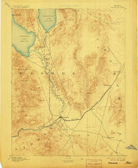
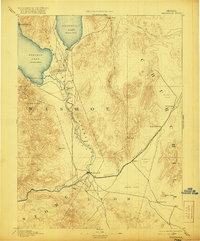
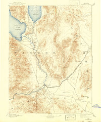
Other maps of this area

1886 · Granite Range
USGS Topo · 1:250,000

1890 · Wadsworth
USGS Topo · 1:125,000

1891 · Carson
USGS Topo · 1:125,000

1891 · Wabuska
USGS Topo · 1:125,000

1891 · Reno
USGS Topo · 1:125,000

1892 · Wadsworth
USGS Topo · 1:125,000

1893 · Carson
USGS Topo · 1:125,000

1893 · Reno
USGS Topo · 1:125,000

1894 · Granite Range
USGS Topo · 1:250,000

1894 · Wadsworth
USGS Topo · 1:125,000