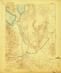
1894 Map of Wadsworth
USGS Topo · Published 1921About this map
Wadsworth stands as a vital rail junction along the Central Pacific Railroad in this late nineteenth-century survey of the high desert. The landscape is dominated by the vast basins of Pyramid Lake and Winnemucca Lake, with the Truckee River carving a green path through the arid valley floor toward the Truckee River Outlet. The presence of the Pyramid Lake Indian Reservation and the Piute Indian Agency highlights the region's cultural geography, while the Eagle Salt Works and the remote station at Desert illustrate the early industrial and transit hubs that supported Nevada’s growth. High peaks such as Virginia Peak and Pah Rah Mountain provide a dramatic backdrop to the vast Alkali Flat regions that stretch toward the boundaries of Churchill and Lyon counties.
Find a feature on this map
31 named features on this map. Tap any name to fly to it.
Don’t see what you’re looking for? This feature index may not catch every label — zoom into the map to look around manually.
Map Details
Editions of this 1894 Wadsworth Map
5 editions found
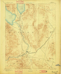
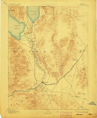
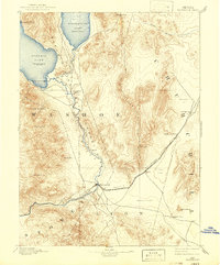
Other maps of this area

1886 · Granite Range
USGS Topo · 1:250,000

1890 · Wadsworth
USGS Topo · 1:125,000

1891 · Carson
USGS Topo · 1:125,000

1891 · Wabuska
USGS Topo · 1:125,000

1891 · Reno
USGS Topo · 1:125,000

1892 · Wadsworth
USGS Topo · 1:125,000

1893 · Carson
USGS Topo · 1:125,000

1893 · Reno
USGS Topo · 1:125,000

1894 · Granite Range
USGS Topo · 1:250,000

1894 · Wadsworth
USGS Topo · 1:125,000