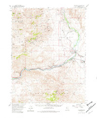
1957 Map of Wadsworth
USGS Topo · Published 1982About this map
The Truckee River carves a vital path through the arid landscape of western Nevada, anchoring the settlements of Wadsworth and Fernley during the late 1950s. This survey illustrates the convergence of major transportation and water infrastructure, where the Southern Pacific railroad follows the river's course past engineering landmarks like Derby Dam. The presence of the Celatom Mine and various prospects throughout the Virginia Mountains points to the region's mineral extraction history, while the sprawling Pyramid Lake Indian Reservation occupies the northern reaches of the map. To the west, the mining camp of Olinghouse is situated within the Virginia Range, connected by canyon trails to the valley floor. The map documents a landscape defined by its water rights and transit corridors, from the flat expanse of Dodge Flat to the numerous springs and canyons, such as White Horse Canyon and Jackass Spring, that sustain life in the high desert.
Find a feature on this map
51 named features on this map. Tap any name to fly to it.
Don’t see what you’re looking for? This feature index may not catch every label — zoom into the map to look around manually.
Map Details
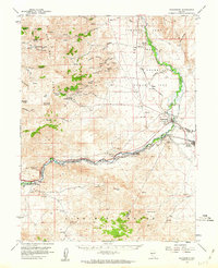
Editions of this 1957 Wadsworth Map
3 editions found

Other maps of this area

1890 · Wadsworth
USGS Topo · 1:125,000

1891 · Carson
USGS Topo · 1:125,000

1891 · Wabuska
USGS Topo · 1:125,000

1891 · Reno
USGS Topo · 1:125,000

1892 · Wadsworth
USGS Topo · 1:125,000

1893 · Carson
USGS Topo · 1:125,000

1893 · Reno
USGS Topo · 1:125,000

1894 · Wadsworth
USGS Topo · 1:125,000

1894 · Wabuska
USGS Topo · 1:125,000

1950 · Virginia City
USGS Topo · 1:62,500